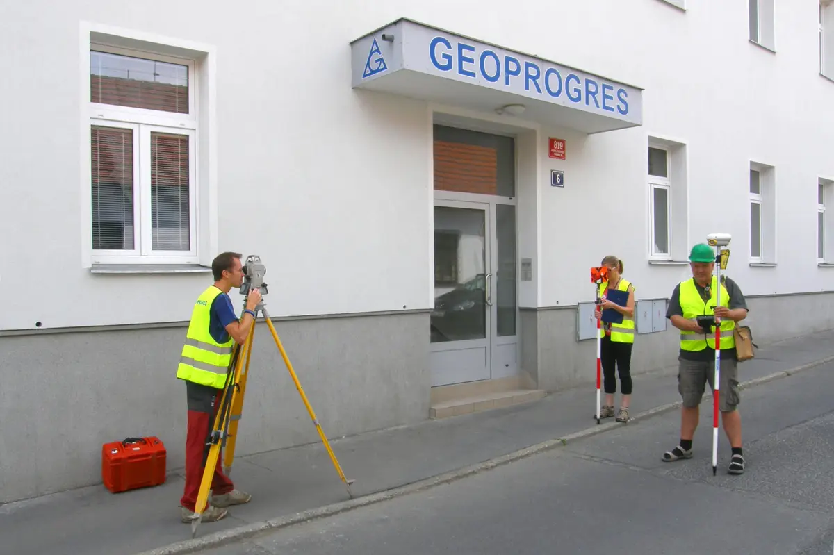
Geodesy - we perform complex surveying work, contracts for entry into the cadastre, geometric plans, easements, surveying of buildings and boundary demarcation. We make map documents for projection, crane tracks. Engineering surveying. Thermal surveying of buildings.
We perform surveying work. Surveying of a building or addition, division of land, delineation of easements, boundary refinement, delineation of property boundaries, geometric plan, elevation and position survey of land as a basis for a project.
We provide a complete service of de-watering of ponds and water reservoirs. We design domestic purification plants, wells, water management structures, dirt roads, accompanying greenery or anti-erosion measures. We offer surveying work. We provide consultancy services when buying or selling a water reservoir or pond.
Consulting activity in the field of real estate transfers (purchase, donation and exchange contracts) and other property rights to real estate (lifetime rights of use of real estate, etc.) Provision of services necessary for real estate transfers (geometric plans, expert opinions, etc.) Preparation of proposals for entry into the National Court Register.
Surveying, cadastre, maps, geodetic work, services. We provide land boundary surveys and building demarcation. We provide geometric plans, documentation of actual execution, responsible surveyor, measurements of crane tracks and deformations, maps of utilities.
We perform complex geodetic work. Geometric plans, surveying of buildings and delineation of boundaries. We produce map documents for designers. Digital terrain models. Measurement of buildings by 3D scanner. Engineering surveying. Thermal imaging of buildings.
Geodetic work - geometric plans, surveying of buildings, land and utilities, project documents, deformation measurements and more. Useful surveying services for property owners, developers, designers and builders.
We carry out surveying work in construction and cadastre, geometric plans, property boundary marking, building demarcation, documentation of actual construction, purpose maps and project documents. Development and real estate activities. We work throughout the whole territory of the Czech Republic.
We carry out all geodetic work, preparation of documentation Digital Technical Map. We make geometric plans, documentation of buildings and boundary marking. We survey utility networks, map documents, actual condition of buildings for reconstruction, we offer OG activities and preparation of expert reports and consultations.
We carry out surveying work. We provide preparation of geometric plans, boundary marking, building demarcation, measurement of crane tracks, map documents for projects, surveying of the actual execution of buildings and other geodetic works.
We carry out all geodetic work, preparation of documentation Digital Technical Map. We make geometric plans, documentation of buildings and boundary marking. We survey utility networks, map documents, actual condition of buildings for reconstruction, we offer OG activities and preparation of expert reports and consultations.
If you need surveyors, you can contact us. We will send you a quotation and a possible date of realization of the contract. We work accurately, quickly and at reasonable prices. We provide comprehensive services in surveying.