List of businesses
EASYmap a.s.

EASYmap a.s.

1 review
  • Surveyors
Františka Halase 1200, Most
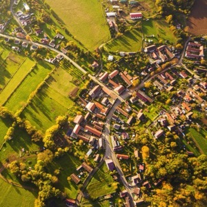
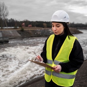
Within the country we use drones to measure landfills in quarries or on construction sites. We carry out calculations of cubic volumes and areas, measurements of the progress of spoil or earthworks. We supply documents for mining measurement documentation and detailed photomaps with centimetre resolution. We provide aerial photo and video for construction documentation.
Data System, s.r.o.

Data System, s.r.o.

  • 3D CAD, CAE, CAM
Dr. Vrbenského 2874/1, Teplice
Providing services in vectorization and creation of 3D models or conversion of paper documentation into digital form. Supply of large format printers. We create 3D interactive landscape visualizations, mine survey documentation, design mineral extraction and mitigation.
Dronprofi.eu

Dronprofi.eu

  • Photo services
Pražská 261, Bílina, Pražské Předměstí
Closed · opening today at 9:00
Aerial photography and video, drone surveys. We take thorough photogrammetry, flight plans regardless of the length of the event, hour, day, weekend or longer. We will film the event to provide stunning aerial imagery to the customer's requirements with safety regulations in mind.
HRDLIČKA spol. s r.o.

HRDLIČKA spol. s r.o.

1 review
  • Surveyors
Jaroslava Seiferta 2159/7, Most
We are a purely Czech company that has been operating on the market since 1991. During that time we have developed into one of the largest providers of geomatics services in the Czech Republic. We provide comprehensive services in the areas of engineering geodesy, geographic information systems, 3D data and BIM.

We display 4 results found

with tag Fotogrammetrie in Ústí nad Labem Region.