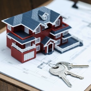
Offering surveying services. Carrying out mapping, delineating boundaries and parcels, designing and processing land improvements. Creation of geometric plans and digital cartographic products. We provide town plans, descriptive number maps, regional maps, wall maps. We provide legal service.
We perform surveying work. Surveying of a building or addition, division of land, delineation of easements, boundary refinement, delineation of property boundaries, geometric plan, elevation and position survey of land as a basis for a project.
We provide comprehensive surveying work in the field of land registry and engineering surveying, geometric plans, land division, boundary marking, construction. We offer surveying of facades and construction objects, monitoring of deformations of construction objects, surveying and calculation of geometric parameters of crane tracks.
We carry out surveying work in construction and cadastre, geometric plans, property boundary marking, building demarcation, documentation of actual construction, purpose maps and project documents. Development and real estate activities. We work throughout the whole territory of the Czech Republic.
We perform complex geodetic work. Geometric plans, surveying of buildings and delineation of boundaries. We produce map documents for designers. Digital terrain models. Measurement of buildings by 3D scanner. Engineering surveying. Thermal imaging of buildings.
Offering surveying services including preparation of geometric plans, property boundary marking and consultancy. We provide plotting of utilities or property boundaries. We also offer the creation of contracts for the land registry, map documents for the project
i.e. location and elevation plan.
If you need surveyors, you can contact us. We will send you a quotation and a possible date of realization of the contract. We work accurately, quickly and at reasonable prices. We provide comprehensive services in surveying.
We offer complete geodetic and surveying work or work in the land registry. We offer a complete service of surveying work for companies and private individuals during construction and subsequent approval of buildings.
We carry out all geodetic work, preparation of documentation Digital Technical Map. We make geometric plans, documentation of buildings and boundary marking. We survey utility networks, map documents, actual condition of buildings for reconstruction, we offer OG activities and preparation of expert reports and consultations.
We provide preparation of geometric plans, delineation of boundaries of land and buildings, verification of the condition of real estate and bringing inaccuracies of data into conformity with reality, verification of copies of geometric plans, measurement of utility networks, creation of digital mapping documents. Provision of consultancy services.
We offer a comprehensive surveying service. We focus on surveying buildings, roads, bridges, steel structures and crane tracks, actual construction, mapping for projects, geometric plans for land subdivision, new construction and easements. We provide contract drafting.
We offer specialized surveying services for bulk material inventory. We provide accurate inventory volume (cubic volume) measurements of any materials, from aggregates to glass to biomass. We also perform land registry surveying and geometric plans.
We offer geodetic services in the field of cadastre and engineering geodesy - semi-topographic and altimetric surveying for the project, Building alignment, GAD (geodetic updating documentation for DTM), Geometric plans, Boundary delineation, Building passport, Actual building design, Calculations of cubic capacity.