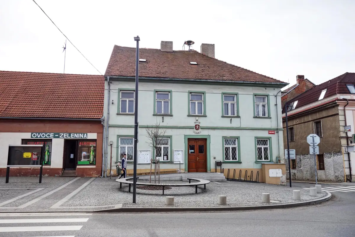
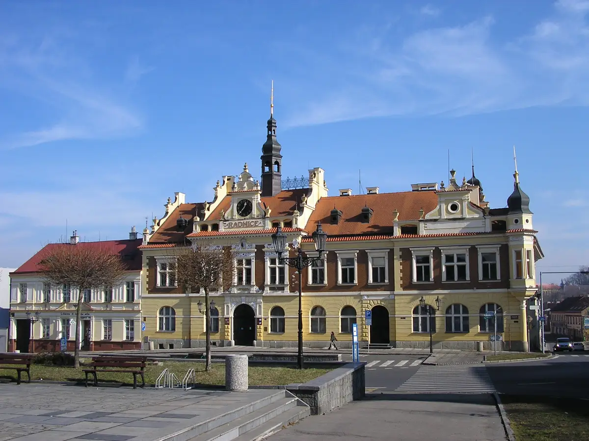
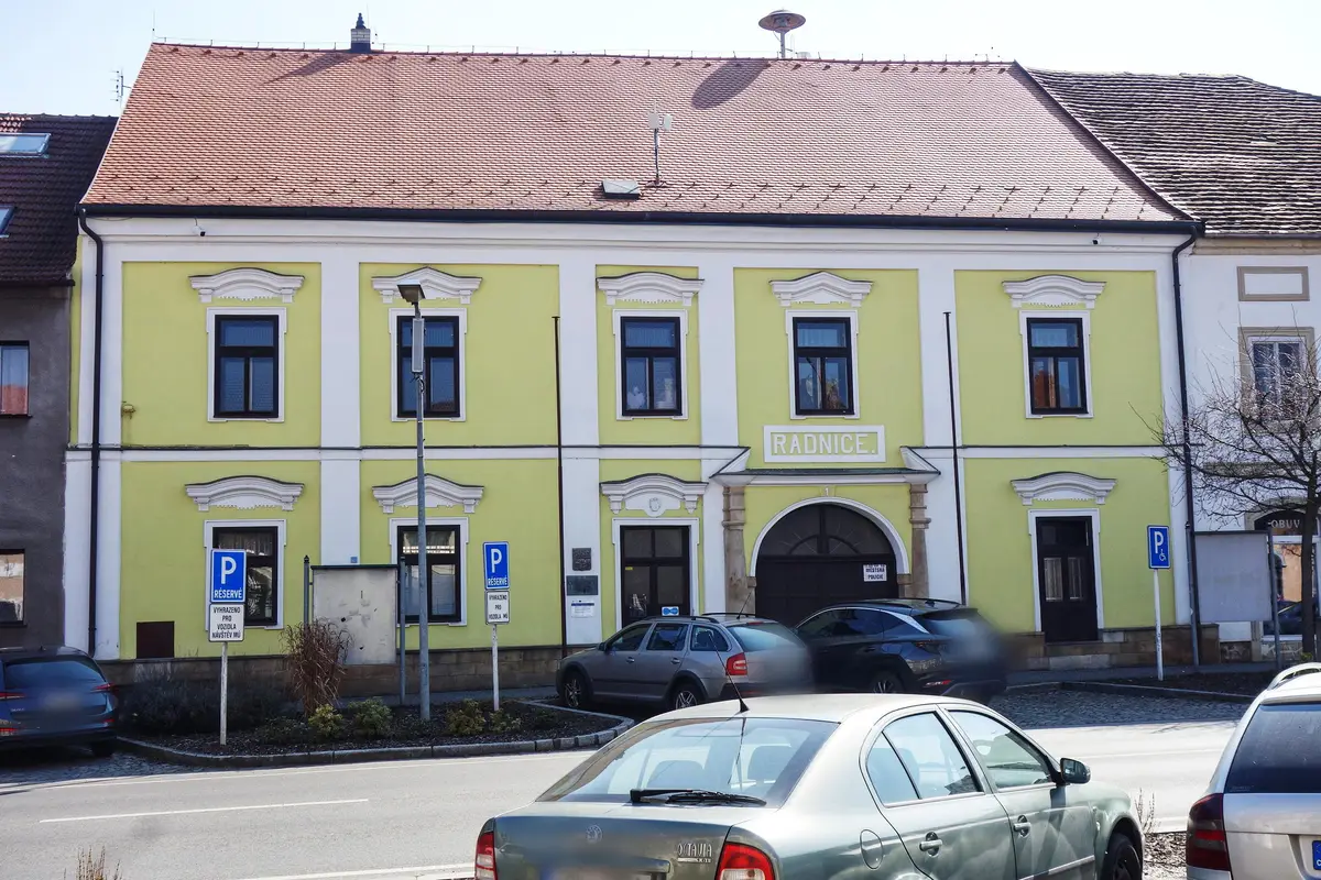
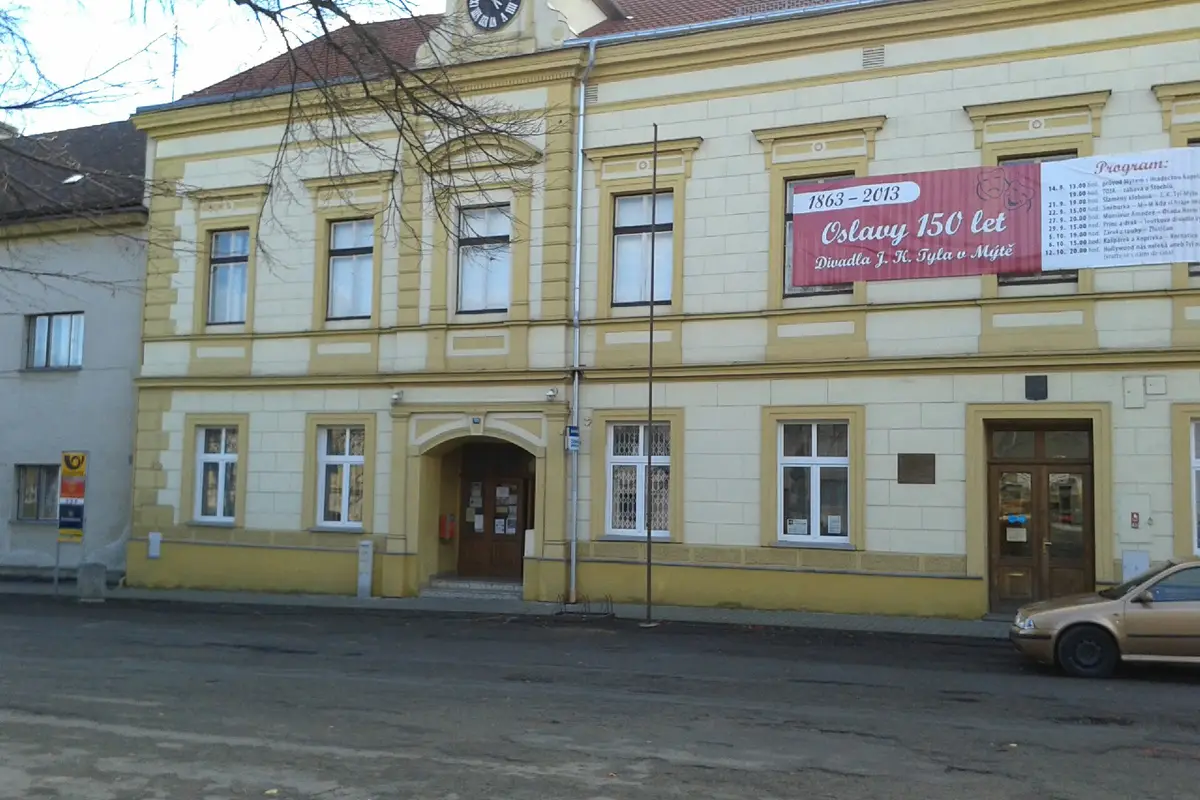
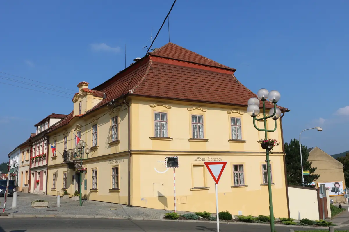
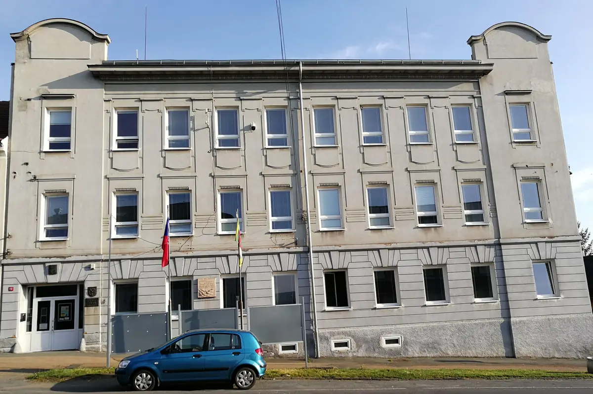
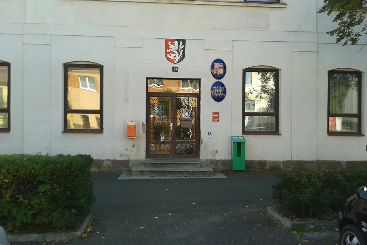
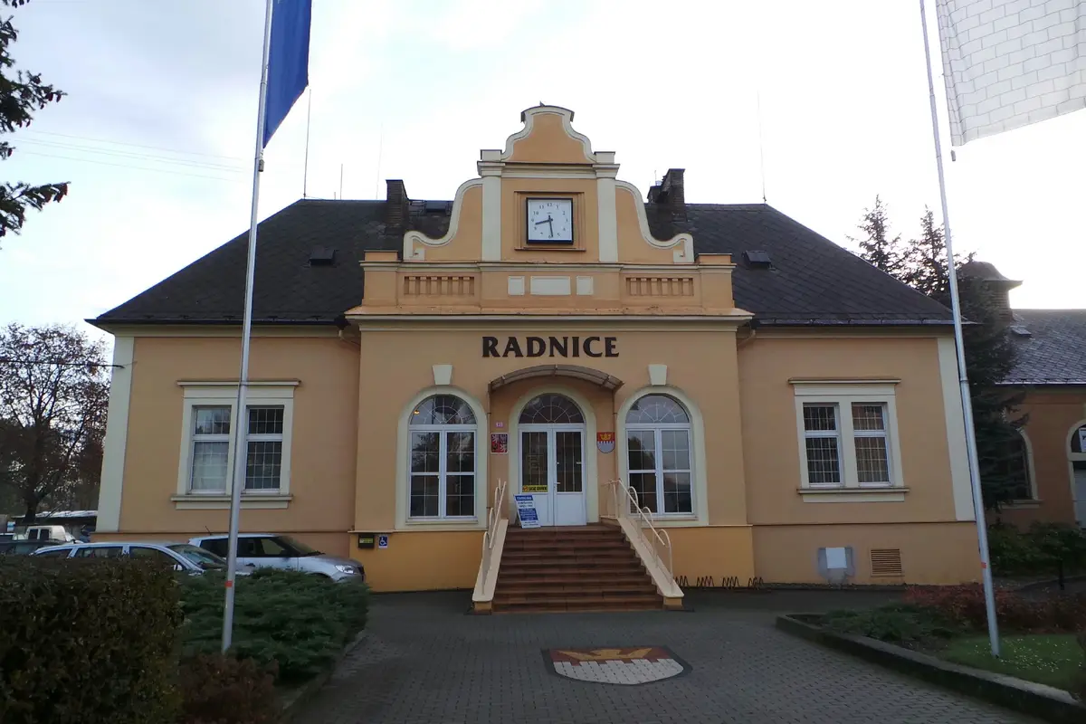
The first written report dates back to 1303. The town is located at an altitude of 375 metres. The population is 6835 inhabitants. Provision of Czech POINT services.
The first written record dates back to 1252. The town is located at an altitude of 371 metres. There are 8573 inhabitants in the territory. We provide Czech POINT services. Forms for electronic submission of applications are available.
The first written record dates back to 1230. The town is situated at an altitude of 519 metres. In the town there is a chateau built in the Renaissance reconstruction of an older Gothic castle, the branch church of St. John of Nepomuk, the Church of the Exaltation of the Holy Cross (inside there is an organ played by J. J. Ryba) and other monuments.
The first written report dates back to 1296. The town is located at an altitude of 443 metres. The Trhoň Nature Park is nearby. A marked hiking trail and a railway line pass through the town. There is a kindergarten and a primary school.
The first written report dates back to 1224. The town is located at an altitude of 462 meters. In the town there is the castle of Březnice surrounded by a Renaissance garden and an English park of 20ha.
The first written report dates back to 1250. The town is situated at an altitude of 414 metres. There are 2491 inhabitants. Provision of Czech POINT services. The village includes a castle, the Church of St. Nicholas, the statue of Our Lady of Immaculata and St. John of Nepomuk. There is a library and a sokolovna.
The first written report dates back to 1366. The town is situated at an altitude of 457 metres. We operate an electronic official board and e-mailroom to help citizens communicate with the office more easily.
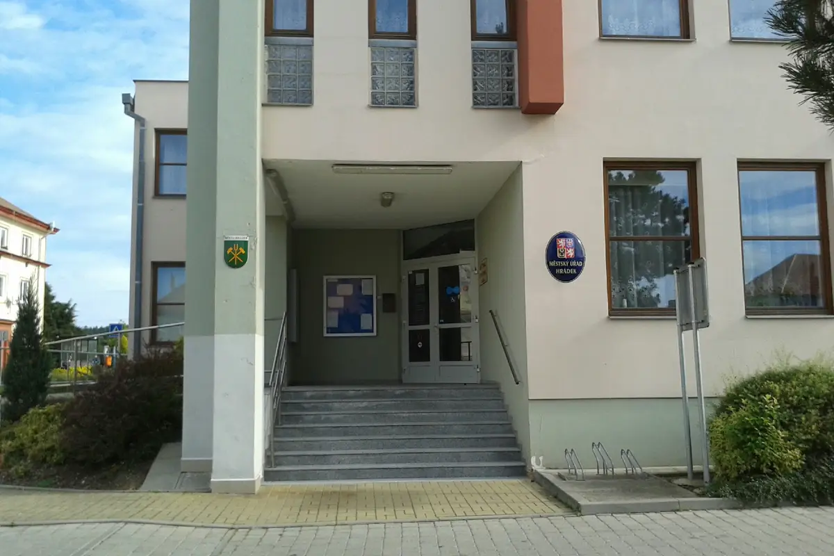
The town of Hrádek is located in the Rokycany district, in the Pilsen Region, on the Klabava River about five kilometres southeast of Rokycany. It has approximately 2 700 inhabitants. The first written record dates back to 1325. The town is situated at an altitude of 440 metres above sea level.
The first written report dates back to 1186. The town is situated at an altitude of 307 metres. The Merenda theatre group, SK Nový Kmín and TJ Sokol are active here. There is also a library and a museum.
The first written report dates back to 1394. The town is located at an altitude of 240 metres. In the town there is a castle, a church, cycle paths, a playground, a clinic, sports clubs and a volunteer fire brigade.