The first written report dates back to 1352. The village is situated at an altitude of 451 metres. The dominant feature of Chrášt'any is the baroque rebuilt church of St. Bartholomew. The village has a kindergarten and a primary school with a gym.
The first written report dates back to 1379. The village is located at an altitude of 447 metres. There are 220 inhabitants. The village has a village association organizing tours. We provide social, cultural and sporting events.
The first written report dates back to 1291. The village is located at an altitude of 421 metres. There are 235 inhabitants. Provision of Czech POINT services. Organizing dance parties and balls. In the village there is a mixed goods shop, the church of St. John the Baptist with hermitage and a freely accessible wooden lookout tower.
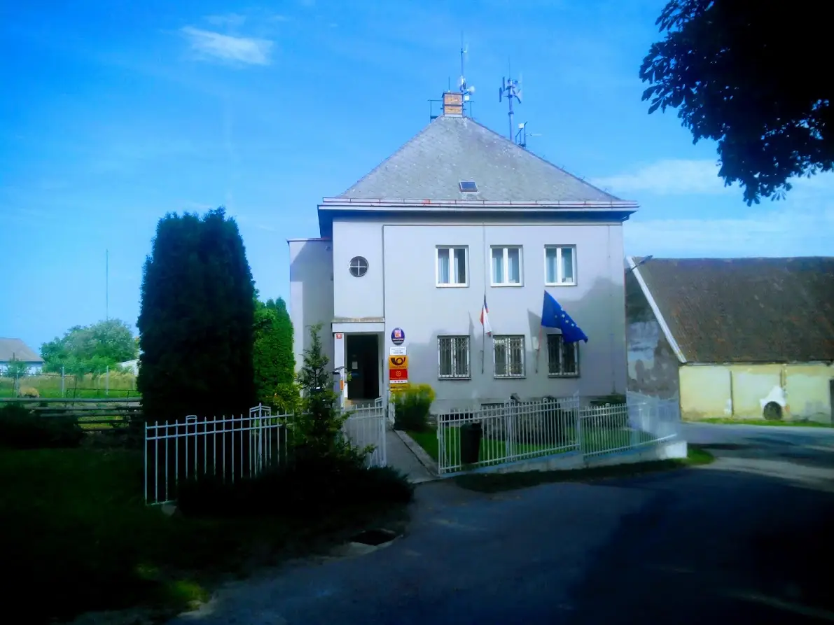
The municipality is the administrative centre of several local districts and provides public services to the residents. The municipality is particularly well known for the location of the Temelín Nuclear Power Plant - which affects its importance for energy, infrastructure and administration of the area.
The first written report dates back to 1412. The village is located at an altitude of 420 metres. There is a chapel of the Holy Trinity. Every year our village organizes many cultural, sporting and social events.
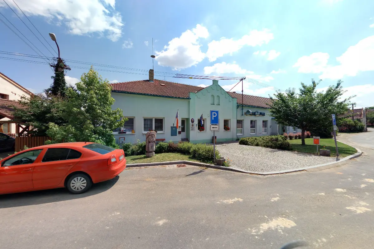
The first written record dates back to 1379. The village is located at an altitude of 439 metres. 355 inhabitants live on the territory. The COOP store operates a Post Office Partner. Near Nemějice there is a memorial mountain Tábor and a stone circle. We organize cultural and sporting events.
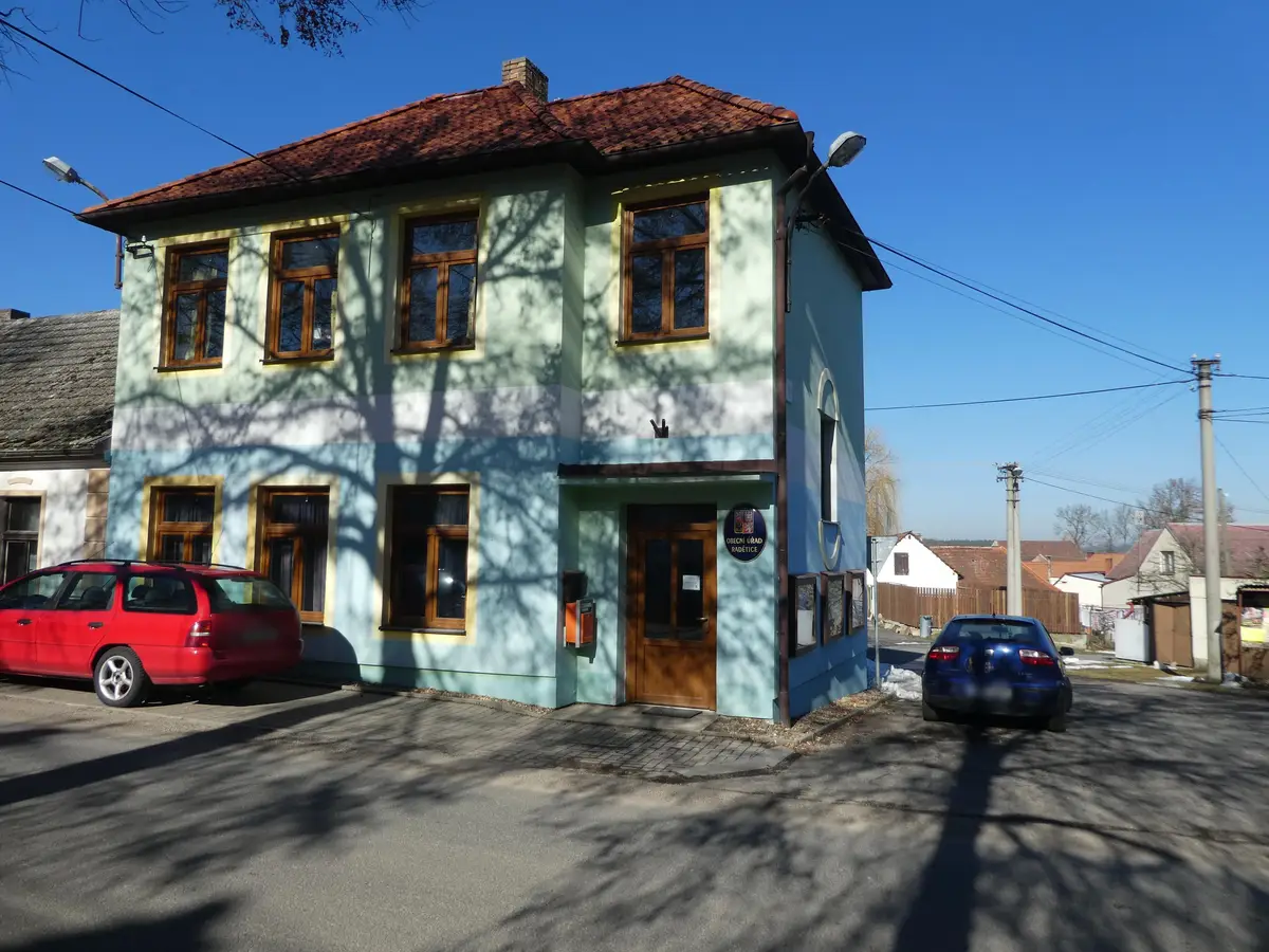
The first written record dates back to 1219. The village is located at an altitude of 441 metres. There are 204 inhabitants. Provision of Czech POINT services.
The first written report dates back to 1379. The village is located at an altitude of 438 metres. There are 54 inhabitants. In the middle of the village there is a chapel from 1828. 3 ponds are built in the village.