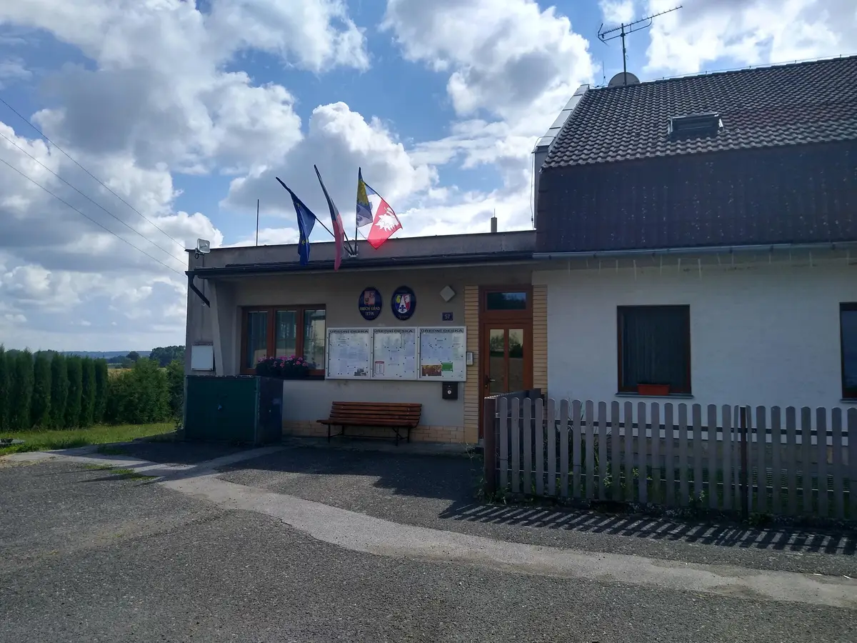
The first written report dates back to 1267. The village is located at an altitude of 301 metres. 317 inhabitants live on the territory. Provision of Czech POINT services.
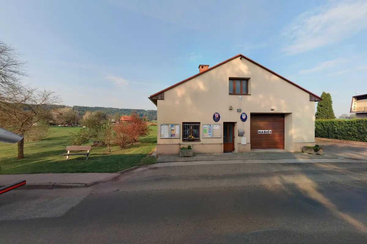
The first written report dates back to 1267. The village is located at an altitude of 418 metres. There are 103 inhabitants. Provision of Czech POINT services.
The first written report dates back to 1267. The village is located at an altitude of 332 metres. 153 inhabitants live on the territory. In the village there is the Gothic church of St. James the Greater from the 15th century, the Monument to the Virgin Mary from 1755, the statue of St. Wenceslas.
The first written report dates from 1238. The village is situated at an altitude of 386 metres. Provision of Czech POINT services. Tourist attractions of the village are a sandstone cross, a monument to T.G.Masaryk and a memorial lime tree.
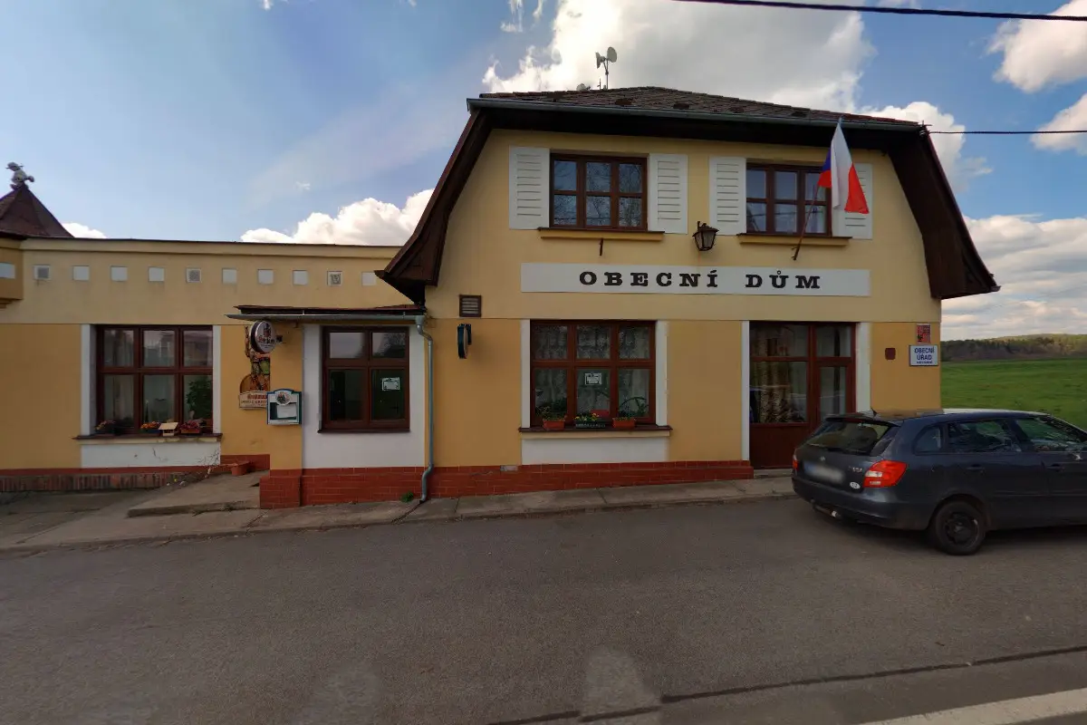
The first written report dates back to 1378. The village is located at an altitude of 418 meters. In the vicinity of the village was mined high-quality and solid sandstone of light color familiarly called "Boháňský". There are many cycling routes in the area. Provision of Czech POINT services.
The first written report dates back to 1440. The village is located at an altitude of 309 metres. Provision of Czech POINT services. There is a trail through the village called "In the footsteps of the War of 1866 in Hořice" and a marked cycling trail. We publish a local newsletter.
The first written report dates back to 1338. The village is located at an altitude of 426 metres. Possibility to visit a nature trail. There is a memorial to the poet Jan Vřesnicky. Provision of Czech POINT services.