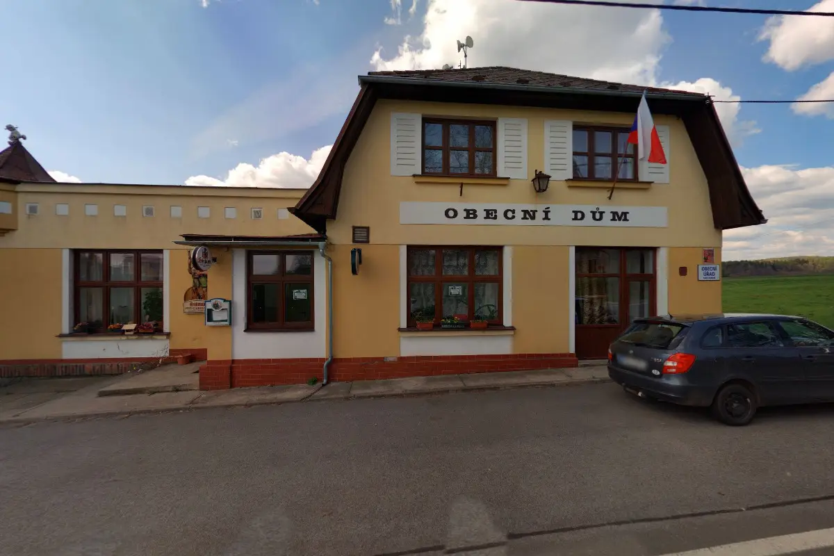
The first written report dates back to 1541. The village is situated at an altitude of 527 metres. There are 1085 inhabitants. We provide Czech POINT services.
The first written record dates back to 1323. The village is located at an altitude of 265 metres. Provision of Czech POINT services. We operate an electronic mailroom. We organize cultural and social events.
The first written record dates back to 1222. The village is located at an altitude of 250 metres. We organize cultural and sporting events or competitions.
The first written report dates back to 1403. The village is located at an altitude of 504 metres. Provision of Czech POINT services. We have a football club and a volunteer fire brigade.
The first written report dates back to 1440. The village is located at an altitude of 309 metres. Provision of Czech POINT services. There is a trail through the village called "In the footsteps of the War of 1866 in Hořice" and a marked cycling trail. We publish a local newsletter.
The first written report dates back to 1582. The village is located at an altitude of 419 metres. 449 inhabitants live on the territory. Provision of Czech POINT services. We run a volunteer fire brigade. We regularly organize carnivals, children's day, drakiads, maypole building or welcoming of citizens.
Dolní Branná is located about 4 km south of the gateway to the Giant Mountains, the town of Vrchlabí. The village was founded in the middle of the 13th century. The first written mention dates back to 1352. From its beginnings it had an agricultural character. At present, the village has 900 inhabitants. There are good train and road connections.
The first written report dates back to 1354. The village is located at an altitude of 321 metres. In the village there is a cemetery, a church, a statue of St. John the Baptist and a volunteer fire brigade. We organize various cultural and social events.