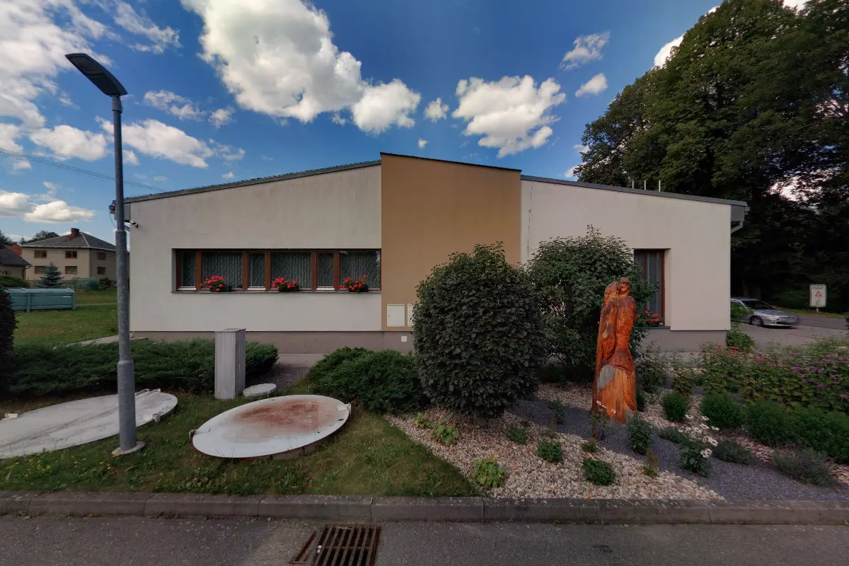
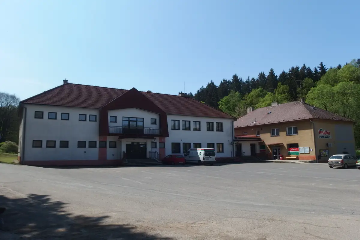
The first written record dates from 1547. The village is situated at an altitude of 575 metres. There are 650 inhabitants. Provision of Czech POINT services. There is a kindergarten and a primary school. We publish a municipal newsletter. The village lies in the Protected Landscape Area of the Žďár Hills. We organize cultural events.
The first written report dates back to 1347. The village is located at an altitude of 495 metres. There is a primary school and a kindergarten in the village.
The first written report dates back to 1349. The village is located at an altitude of 615 metres. The village has a kindergarten and a primary school and a sports complex.
The first written report dates back to 1463. The village is located at an altitude of 464 metres. The village has a volunteer fire brigade Sádek, a hunting association, FC Sádek and SK Sádek. We organize cultural and sporting events. Provision of CzechPOINT services.
The first written report dates back to 1361. The village is located at an altitude of 440 metres. A marked cycle route and the Nature Trail Around Štimberk pass through the village. There is a multi-purpose and children's playground. We publish a municipal newsletter.
The first written report dates back to 1403. The village is located at an altitude of 578 meters. Provision of Czech POINT services. We have a choir of volunteer firefighters, TJ Sokol and a primary and kindergarten school.
The first written report dates back to 1392. The village is located at an altitude of 602 metres. Provision of Czech POINT services. Organizing cultural, social and sporting events. In the village there is a library, a tavern, a shop of mixed goods.
The first written record dates back to 1318. The village is located at an altitude of 520 metres. In the village there is the Church of Divine Love with a heart-shaped ground plan completed in 2005, the grave of Soviet soldiers and a hunting lodge with a memorial plaque to Teresa Novakova.