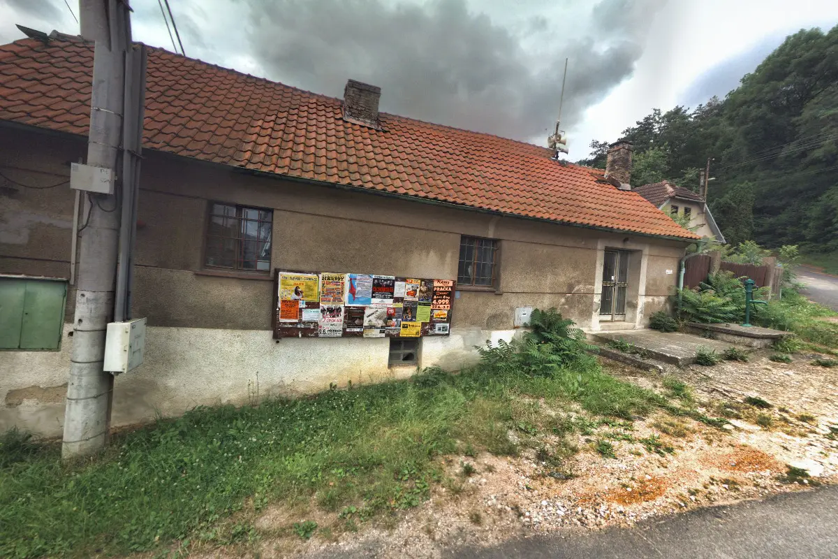
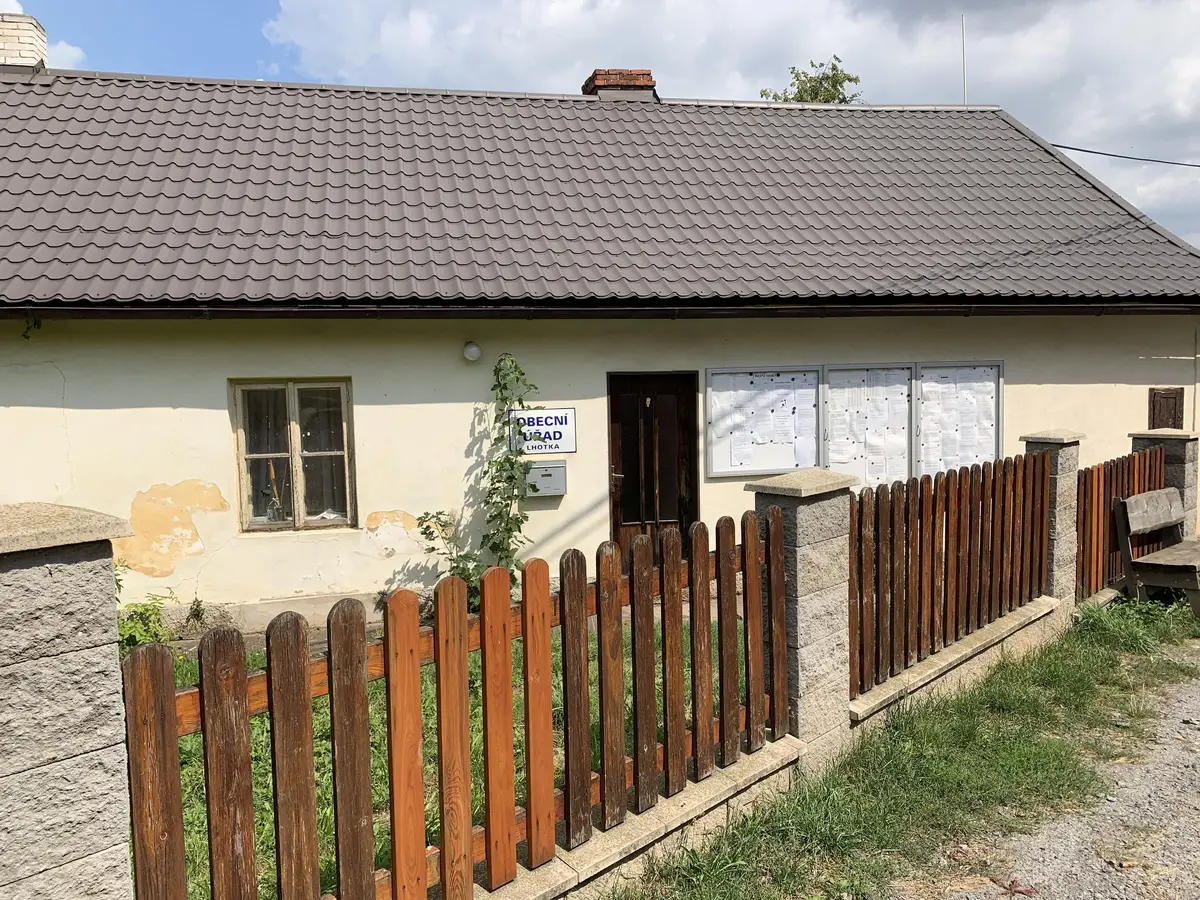
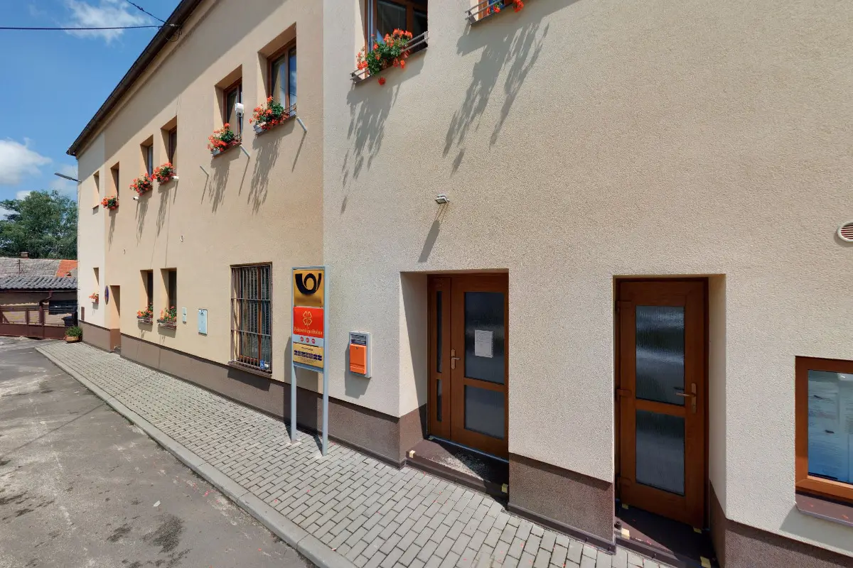
The first written report dates back to 1547. The village is located at an altitude of 403 metres. 329 inhabitants live on the territory. Provision of Czech POINT services. The village lies at the northeastern foot of Plešivec Hill, which dominates the local landscape.
The first written record dates back to 1266. The village is located at an altitude of 315 metres. A marked hiking and cycling trail passes through the village. There is a monument to Šemík and a primary and kindergarten. We organize social and cultural events.
The first written record dates back to 1331. The village is located at an altitude of 491 metres. There are 422 inhabitants. The authority handles tenders and decisions on the location of construction. Provision of Czech POINT services. The village has a volunteer fire brigade and a physical education unit.
The first written report dates back to 1316. The village is located at an altitude of 342 metres. 457 inhabitants live on the territory. Provision of Czech POINT services.
The first written report dates back to 1170. The village is located at an altitude of 361 metres. The village has a kindergarten and primary school, a medical facility, a nursing home, a library and a collection yard. The village includes the settlements of Lounín and Slavíky.
The first written report dates back to 1399. The village is located at an altitude of 414 metres. The village has a kindergarten and a primary school for grade 1. There is a sports complex of the club SK Doubravan Újezd. There is also an inn. Rock concerts, cultural and sports events for children are held on the summer dance floor.