The first written record dates back to 1143. The village is located at an altitude of 384 metres. There is the Church of the Annunciation, the cemetery chapel of the Strahov Premonstratensians and the niche chapel of St. Florian in the village square.
The first written report dates back to 1037. The village is located at an altitude of 344 metres. The centre of the village is the Prokopska village square with the chapel of St. Procopius. There is also a museum focusing on the mining past of Nučice and a picture gallery.
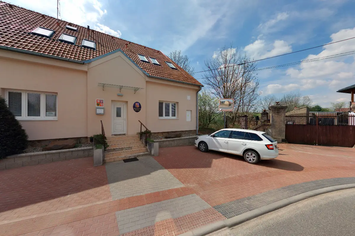
The first written report dates back to 1234. The village is located at an altitude of 340 metres. We operate an electronic mailroom. We organize cultural and social events.
The first written report dates back to 1249. The village is located at an altitude of 380 metres. The village lies in the Kačák Basin Nature Park and a marked cycle route passes through it. The Červený Újezd Castle and the Botanical Garden are nearby.