The first written report dates back to 1368. The village is located at an altitude of 400 meters. We publish a local newspaper. We organize cultural and social events. There is a kindergarten and a post office. A marked cycle path and a hiking trail pass through the village.
The first written report dates back to 1380. The village is located at an altitude of 375 metres. The village lies within the Hřebeny Nature Park. A municipal newsletter is published. We organize cultural and social events.
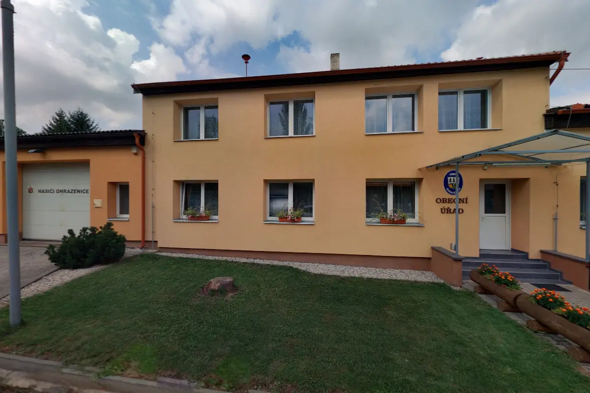
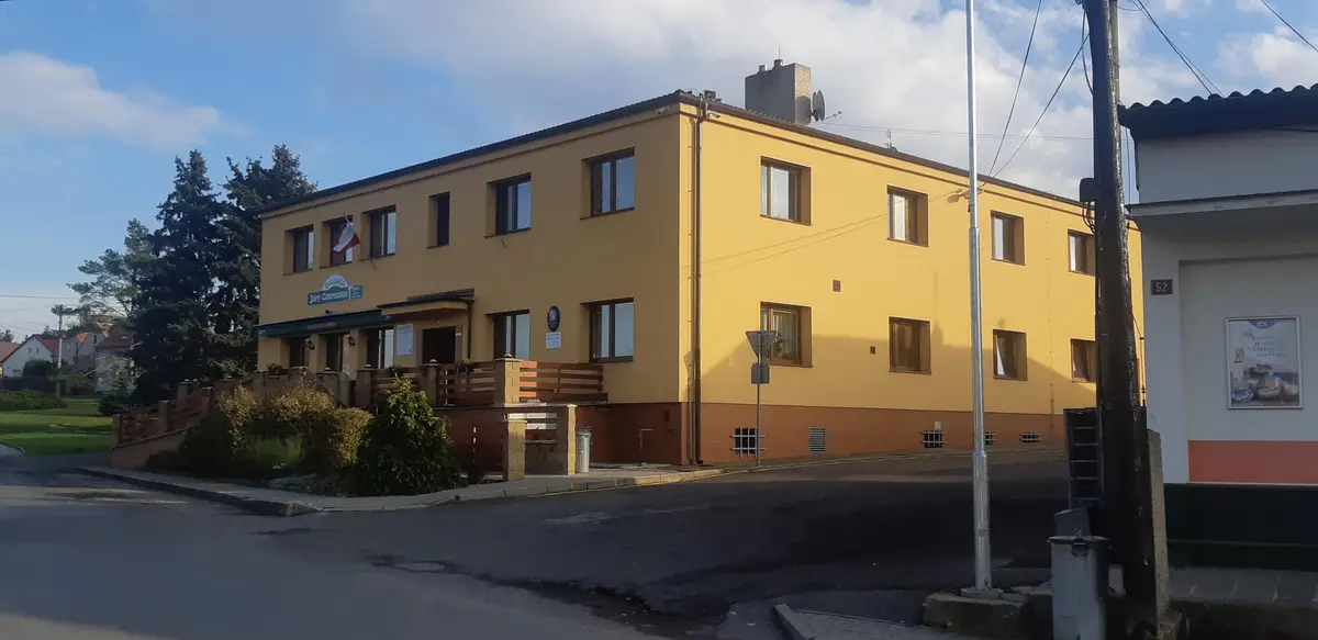
The first written report dates back to 1394. The village is located at an altitude of 408 metres. 309 inhabitants live on the territory. The village has a fire brigade, falconers and the Czech Gardening Association, which organises theatre trips and social events for children and adults. We provide Czech POINT services.
The first written report dates back to 1547. The village is located at an altitude of 403 metres. 329 inhabitants live on the territory. Provision of Czech POINT services. The village lies at the northeastern foot of Plešivec Hill, which dominates the local landscape.
The first written report dates back to 1355. The village is located at an altitude of 475 metres. There are 558 inhabitants. Provision of Czech POINT services.
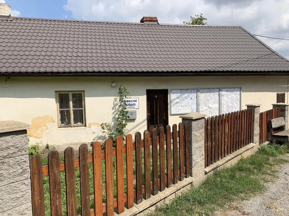
The first written record dates back to 1331. The village is located at an altitude of 400 metres. There is a water supply and sewerage system in the village. Providing the possibility of purchasing plastic or galvanized dustbins.
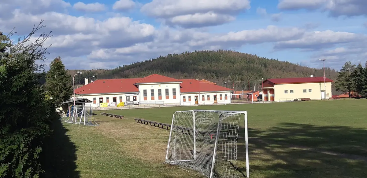
The first written record dates back to 1324. The village is located at an altitude of 695 metres. The village has a kindergarten, library, TJ Sokol club. There is a grass football field, an asphalt, clay tennis court and an indoor gym.
The first written report dates from 1336. The village is located at an altitude of 500 metres. There is a castle and a chapel in the village square dedicated to St. Sigismund and a chapel at St. John's.