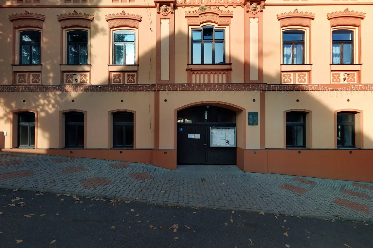
The first written record dates back to 1282. The village is situated at an altitude of 285 metres. 75 inhabitants live on the territory. Provision of Czech POINT services.

The first written report dates back to 1436. The village is located at an altitude of 209 metres. In the village there is a primary school and kindergarten, a pub, a community centre and St. Martin's Church.
The first written report dates back to 1333. The village is located at an altitude of 297 metres. Social and cultural events are organized in the village.
The first written report dates back to 1362. The village is located at an altitude of 185 metres. Historical monuments include the Church of St. Lawrence and a Baroque farmstead from the second half of the 18th century.
The first written report dates back to 1268. The village is located at an altitude of 175 metres. Organization of cultural events. There is also a library in the village.
The first written record dates back to 1360. The village is located at an altitude of 365 metres. There are 689 inhabitants. Provision of Czech POINT services.
The first written record dates back to 1219. The village is situated at an altitude of 185 metres. Providing Czech POINT services. The dominant feature of the village is the church of St. Matthew.
The first written report dates back to 1250. The village is located at an altitude of 336 metres. In the village there are the ruins of Žerotín Castle, a chapel and the Church of St. Blažej.
The first written report dates back to 1346. The village is located at an altitude of 299 metres. The area of the territory is 603 ha. We offer Czech POINT services.
The first written report dates back to 1295. The village is located at an altitude of 300 metres. The dominant feature of the village is the Church of St. John the Baptist and the Libčeves castle.