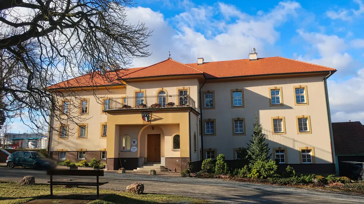
Urban district in the west of the statutory town. The municipal district consists of almost the entire cadastral territory of the historic village of Křimice and a small south-western tip of the cadastre of the historic village of Radčice u Plzně. The Mže River flows through the district. Provision of the CzechPOINT service.
Official city website provides information about the activities of the local government for citizens and business people and about destinations for tourists and visitors.
The first written report dates back to 1115. The town is located at an altitude of 211 metres. We have an ice rink, a sports park, a skate park, a municipal beach, a sports club and a primary and kindergarten school. We organize cultural and social events.
These are workplaces ensuring the handling of certain state administration agencies, where clients most often go in person and to whom the Černošice Municipal Office tries to bring the counter workplaces closer to the southern part of the administrative district.
The first written record of Zbraslav dates back to 1115. The village is located at an altitude of 200 metres. The municipal district of Prague - Zbraslav is situated at the confluence of the Vltava and Berounka rivers on the southern outskirts of Prague. The Zbraslav castle is located in the district.
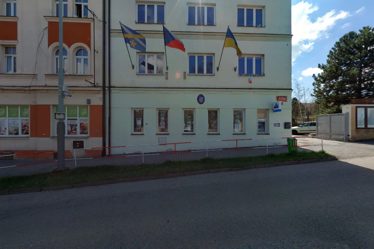
Provision of information and services related to the municipal district, which consists of the cadastral area of Řeporyje, Zadní Kopaniny and smaller parts of the cadastral area of Stodůlky and Třebonice.
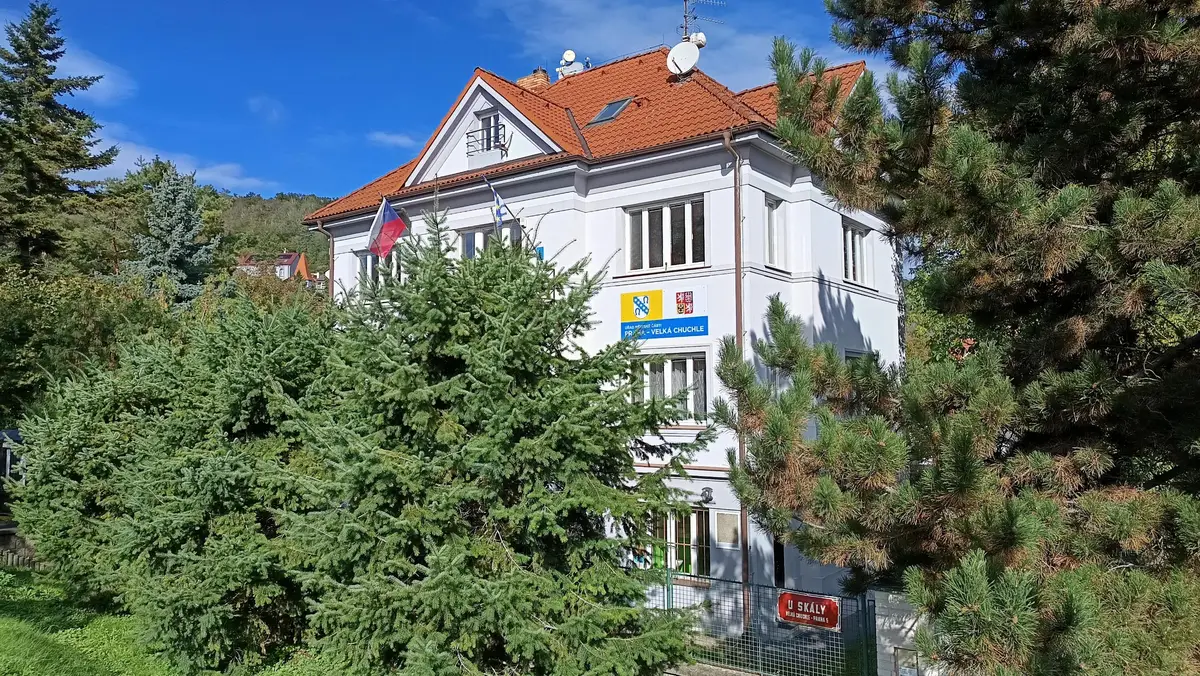
Exercise of delegated powers of state administration and self-government in the cadastral territories of Cholupice, Libuš, Kamýk, Komořany, Modřany and Točná.
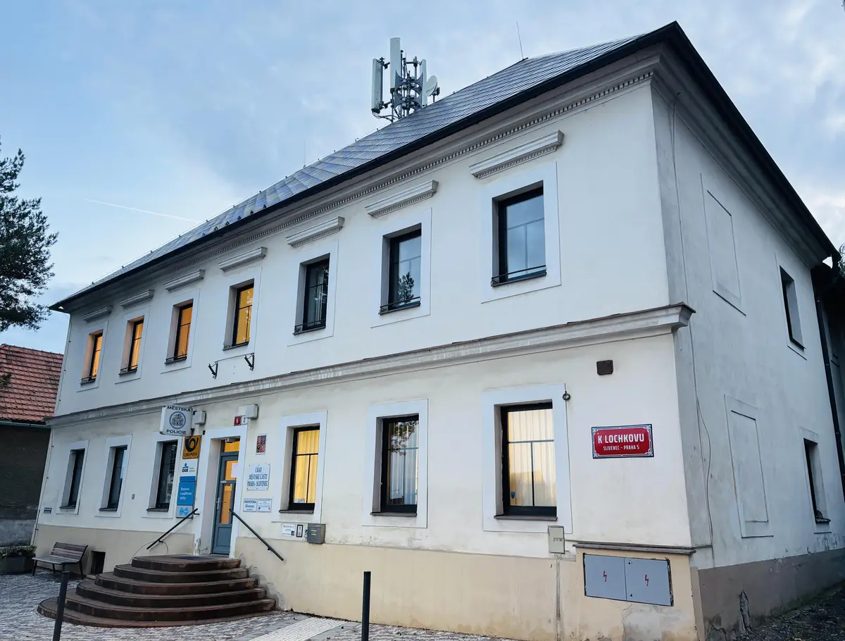
Providing information and services related to the borough. Provision of Czech POINT services. The number of permanent residents is 2234 persons. The first written mention dates back to 1132 - the Chronicle of the Canon of the Vyšehrad Chapter, the legend of Bishop Menhart.