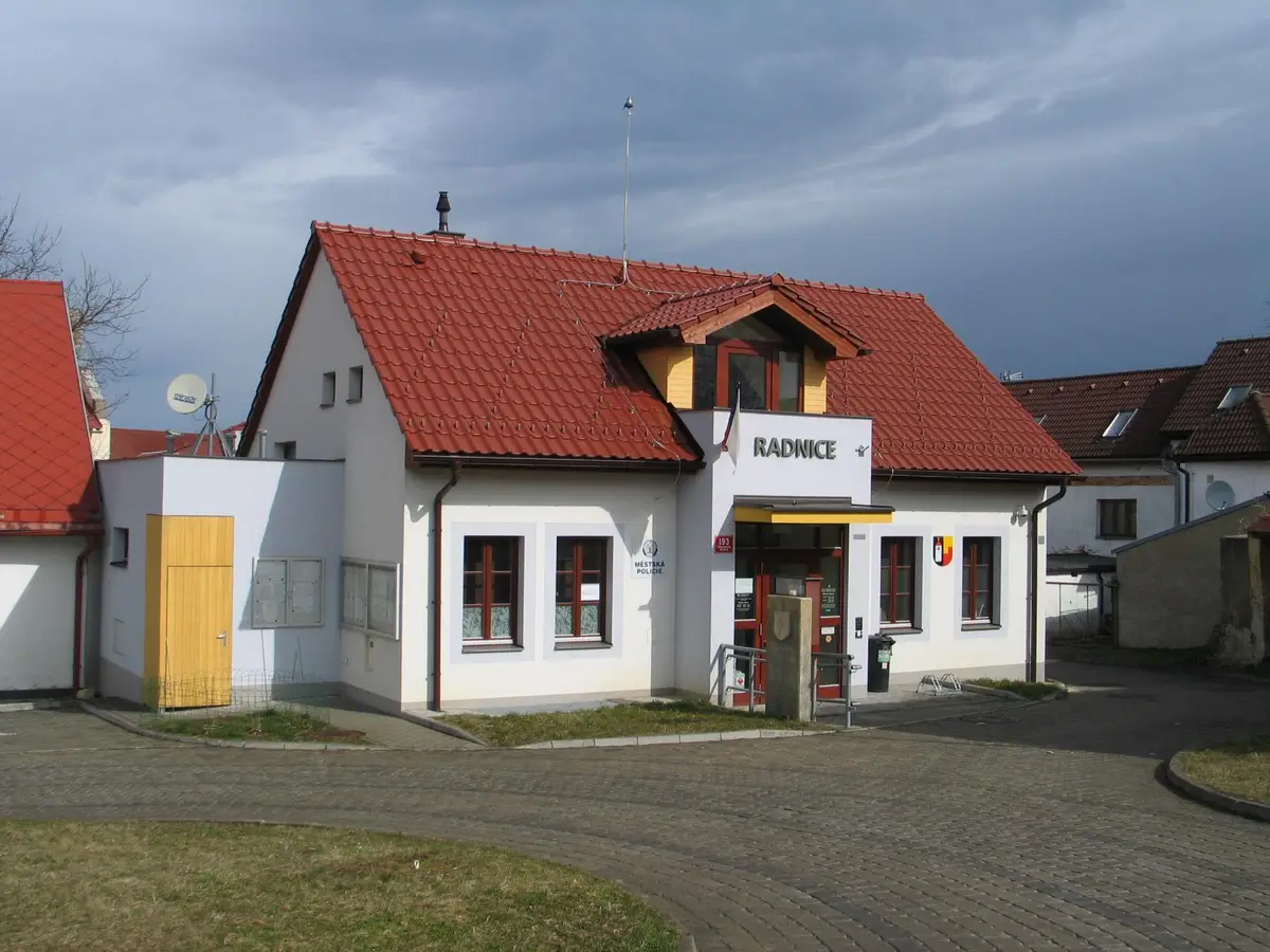
The city district is in the northern part of Pilsen, sometimes referred to as the Northern Suburbs. It includes the territory of the old town district of Roudná and the formerly independent municipality of Bolevec with the settlements of Bílou Hora and Košutka, supplemented by the residential development of Lochotín, then gradually connected by the settlements of Lochotín, Bolevec, Košutka and Vinice.
The Municipality performs the functions of a municipal authority with extended competence in the delegated area of the entire city, unless otherwise provided by law or regulation.
The activities of the workplace are mainly focused on services for the residents of the town districts of Dubí, Dříň and Vrapice. Verification of authenticity of signatures, registration of permanent residence, registration and de-registration of dogs, copying for citizens, receiving payments of local fees.
Official city website provides information about the activities of the local government for citizens and business people and about destinations for tourists and visitors.
The fourth district of Pilsen is named after one of the original settlements, Doubravka. The district forms the eastern part of Pilsen and consists of the original villages of Doubravka, Letná, Lobzy and others from the villages of Bukovec, Červený Hrádek, Újezd, Zábělá, which still form separate satellites. Provision of CzechPOINT service.
Providing information and services related to the borough. Provision of Czech POINT services. There are 1 243 201 inhabitants in the territory. The district is home to the Pensioners' Club, SDH Zličín, MC Studánka, the Hunting Association and FC Zličín.
It is a body of the City of Pilsen, which performs its tasks in the field of territorial self-government and state administration delegated to the City of Pilsen.
With its area of 3,546 hectares, the Pilsen 3 Municipal District is one of the largest districts in Pilsen. The population as of 1 January 2012 was 50 312. The district combines both the historical part of the city and historically younger parts such as Bory, Doudlevce, Skvrňany, Nová Hospoda, Zátiší, Valcha and Radobyčice.
Exercise of delegated powers of state administration and self-government in the cadastral territory of Řepy, Zličín, Sobín and part of the cadastral territory of Třebonice.
The municipal district of Plzeň 2 - Slovany consists of the local districts of Božkov, Doudlevce, Hradiště, Koterov, Lobzy and Východní předměstí. The cadastral area of the district is 1,639 ha and there are approximately 35,000 inhabitants. The district is located in the south-eastern part of the city. Provision of CzechPOINT service.
Provision of information and services related to the municipal district, which consists of the cadastral area of Řeporyje, Zadní Kopaniny and smaller parts of the cadastral area of Stodůlky and Třebonice.