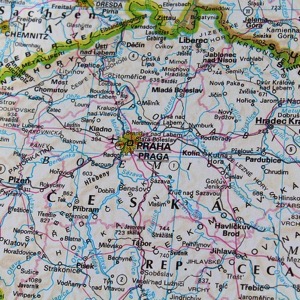
The town lies in the Mladá Boleslav district and belongs to the Central Bohemia Region. The town lies about eighteen kilometres east of Mladá Boleslav. From the tourist point of view it belongs to a very attractive area of the Bohemian Paradise. There are about 2520 inhabitants permanently living in the town.
The first written report dates back to 1382. The village is situated at an altitude of 200 metres. The village includes a kindergarten, the Church of St. John the Baptist, a statue of St. John of Nepomuk, a swimming pool, a shop and a restaurant.
The first written report dates back to 1375. The village is located at an altitude of 272 metres. There is a volunteer fire brigade in the village. Sports and cultural events are organized.
The first written report dates back to 1354. The village is situated at an altitude of 218 metres. There is a kindergarten, a primary school and a library in the village.
The first written record dates back to 1325. The village is located at an altitude of 229 metres. A marked cycle route passes through the village. A municipal newsletter is published. We organize social and cultural events.
The first written report dates back to 1332. The village is located at an altitude of 238 metres. Provision of Czech POINT services. There is a library.
The first written report dates from 1778. The village is situated at an altitude of 196 metres. There is a football pitch of the local club and a fire tank. The village has a nature reserve called Váha. Provision of Czech POINT services.
The first written report dates back to 1281. The village is located at an altitude of 252 metres. Provision of Czech POINT services. In the village there is a library, kindergarten.
The first written report dates back to 1410. The village is located near the Protected Landscape Area Bohemian Paradise. It organizes social, cultural and children's events.