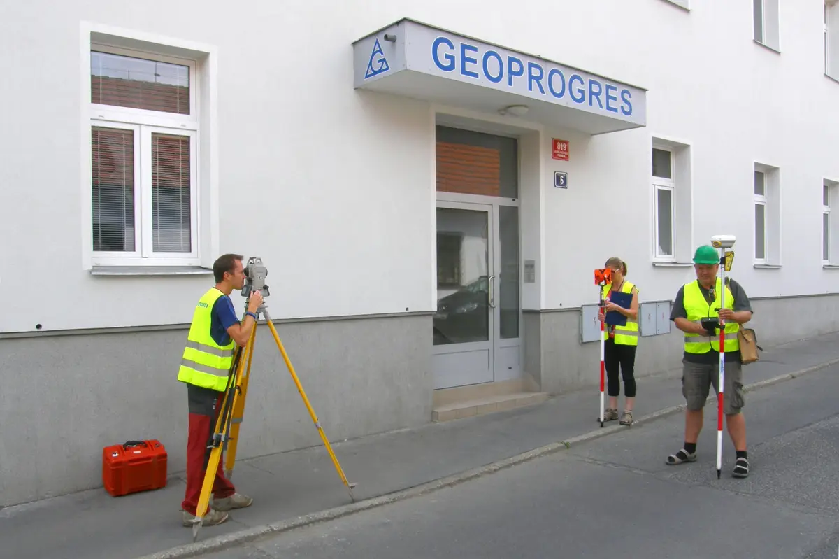
We provide all geodetic work in the field of land registry and engineering geodesy: delineation of land boundaries, creation of geometric plans, delineation and surveying of buildings, utilities, position and elevation plans, consulting in land registry. The company's activities also include railway geodesy.
We offer surveying work. We provide geometric plans for approvals, mortgages, purchase contracts and restitutions, land ownership boundary marking, position and elevation documents for design, surveying of utilities. We also provide advice on real estate transfer issues.
We are a purely Czech company that has been operating on the market since 1991. During that time we have developed into one of the largest providers of geomatics services in the Czech Republic. We provide comprehensive services in the areas of engineering geodesy, geographic information systems, 3D data and BIM.
We carry out surveying work in construction and cadastre, geometric plans, property boundary marking, building demarcation, documentation of actual construction, purpose maps and project documents. Development and real estate activities. We work throughout the whole territory of the Czech Republic.
We offer a wide range of surveying services, including land boundary marking, surveying and preparation of geometric plans. Our goal is to provide a quality geodetic foundation for various projects and utilities. Contact us for expert assistance and accuracy in every detail.
We carry out geometrical plans, land division, property boundary demarcation. We lay out documents for projects, delineate buildings, roads, highways, utilities, industrial halls. We design transport structures. Also DTM updates, building passports, We sell surveying and construction instruments.
Geodetic work - geometric plans, surveying of buildings, land and utilities, project documents, deformation measurements and more. Useful surveying services for property owners, developers, designers and builders.
If you need surveyors, you can contact us. We will send you a quotation and a possible date of realization of the contract. We work accurately, quickly and at reasonable prices. We provide comprehensive services in surveying.
We offer complete geodetic work, preparation of geometric plans, delineation of property boundaries, surveying of utilities and creation and collection of data for GIS. Documentation for designing - position and elevation measurements and digital processing.