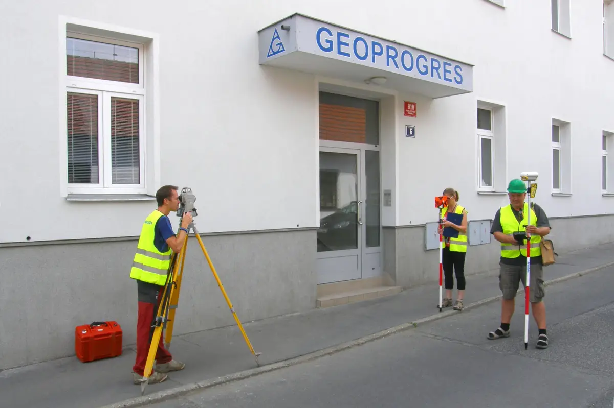
We carry out all geodetic works in the South Bohemia region. Altimetry and semi-altimetry, geometric plans, property boundary delineation, mapping for design work, building delineation.
We offer geodetic work, large scale purpose maps, delineation work in construction, surveying of actual construction and utilities. Geometric plans for house approval, marking of easements, land division. Documentation for designers of semi- and altimetric surveying of the land.
I offer geodetic work in the cadastre of real estate - geometric plans and delineation of land boundaries and investment construction - position and elevation plans for design activities, delineation work, geodetic documentation of the actual construction.
We carry out all geodetic and surveying activities. Surveying of buildings, land division, marking of easements, very precise measurement of building components.
We are engaged in surveying work in land registry and engineering surveying. The subject of our activity is the creation of geometric plans, easements, delineation of land boundaries. In the field of engineering geodesy, we carry out surveying on construction sites and the creation of all geodetic documentation of buildings.
We provide surveying work in construction and cadastre: geometric plans, delineation of property boundaries and buildings, documentation of the actual construction and special purpose maps. We offer consultancy in the field of geodesy, surveying, cadastre. Possibility to rent surveying equipment.
Engineering geodesy: map documents for the project, construction layout, actual design. Real estate cadastre: geometric plans, delineation of land boundaries.
Geodetic work - geometric plans, surveying of buildings, land and utilities, project documents, deformation measurements and more. Useful surveying services for property owners, developers, designers and builders.
We carry out surveying work in construction and cadastre, geometric plans, property boundary marking, building demarcation, documentation of actual construction, purpose maps and project documents. Development and real estate activities. We work throughout the whole territory of the Czech Republic.
We perform all surveying work in land registry and investment construction. We prepare geometric, position and location plans, we carry out delineation of land boundaries, surveying of buildings and utility connections for approval within a maximum of 3 days.
We perform all surveying work in land registry and investment construction. We prepare geometric, position and location plans, we carry out delineation of land boundaries, surveying of buildings and utility connections for approval within a maximum of 3 days.
We provide geometric plans, land boundary demarcation, special purpose maps. Focusing of construction documentation, passporting and legalization of buildings. Full service in the revision of the Cadastre of Real Estate. Complete engineering activities in construction, representation before authorities.