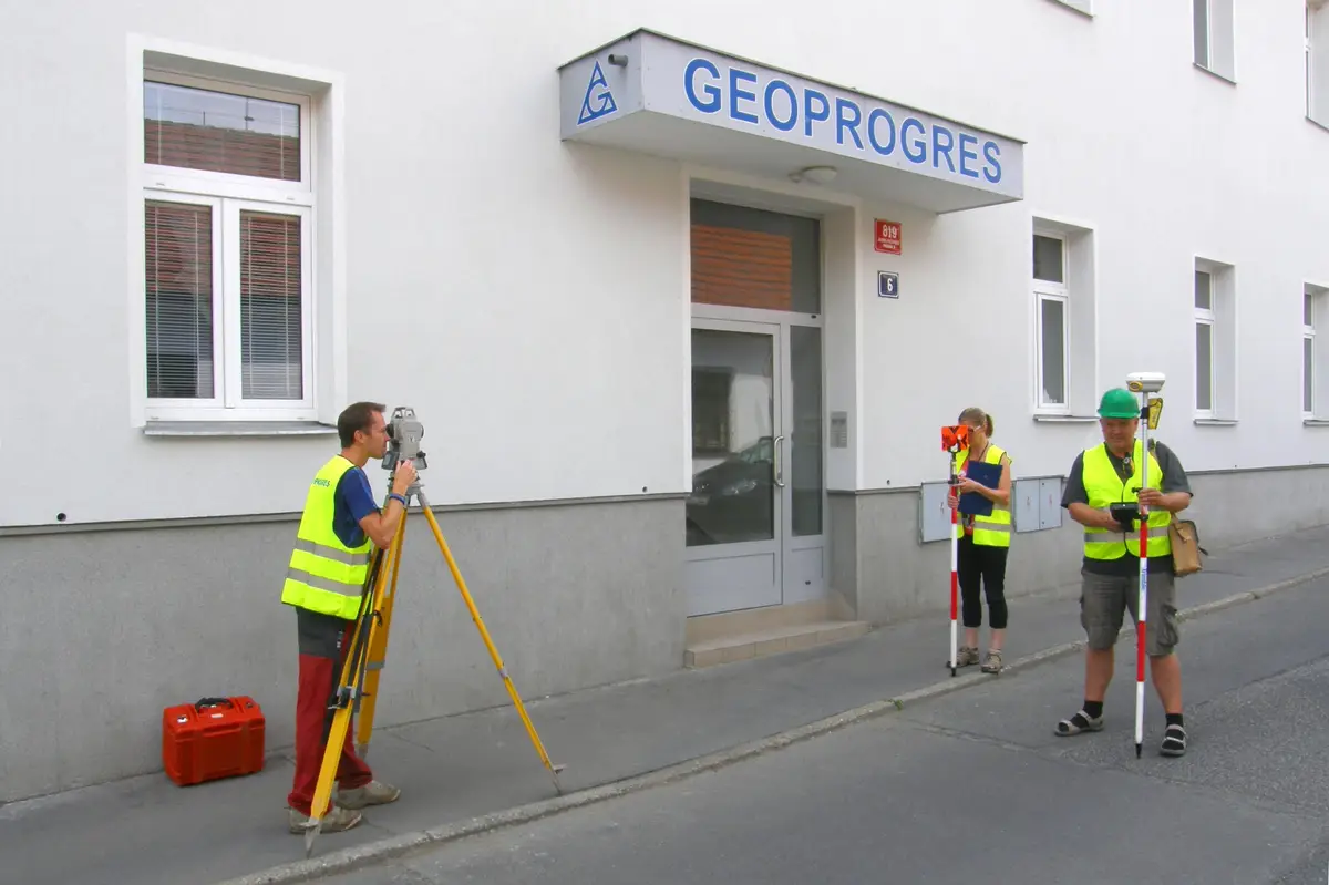
Offering surveying work for complex land development. We provide boundary marking, mapping, actual surveying and surveying work in capital construction.
We work in the field of surveying. We carry out geodetic, engineering and surveying works. We offer surveying of buildings (for mortgage and house approvals), land division (legal settlement), surveying for easements, property boundaries and mapping documents.
We provide services in the field of garden architecture. We offer design activities, garden design and garden architecture. We provide dendrological surveys and tree condition assessments, design of planting measures, technical supervision, green generals and planning studies. We operate throughout the Czech Republic.
We provide comprehensive services in the field of geodesy, geoinformation and 3D technologies. We offer the creation of mapping documents for projects, surveying of utilities, delineation of buildings, creation of geometric plans, delineation of land boundaries.
We offer creation of maps for projects, surveying of utilities, delineation of buildings, preparation of geometric plans, delineation of land boundaries.
We carry out surveying activities - geometric plans for the Land Registry, delineation of property boundaries, surveying of easements. Engineering surveying - delineation and surveying of buildings, surveying and preparation of special purpose maps, elevations, documents for projects.
We work in the field of surveying. We carry out geodetic, engineering and surveying works. We offer surveying of buildings (for mortgage and house approvals), land division (legal settlement), surveying for easements, property boundaries and mapping documents.
We carry out surveying work. We provide preparation of geometric plans, boundary marking, building demarcation, measurement of crane tracks, map documents for projects, surveying of the actual execution of buildings and other geodetic works.
We will prepare a geometric plan, delineate the boundary of the land, a survey for the project, a construction survey and more. Engineering geodesy is a matter of course. We look forward to seeing you.
Geodetic surveying for architects and designers. Surveying of the actual condition of the land, house, office building, historical building, production hall, wine cellar. Drawings and 3D models for passport, reconstruction, demolition, owner's declaration and digitization of production processes.
We offer geodetic work in the land registry, preparation of geometric plans, delineation of land boundaries, division of land, delineation of buildings, surveying of the actual condition, position and elevation plans.
Geodetic work - geometric plans, surveying of buildings, land and utilities, project documents, deformation measurements and more. Useful surveying services for property owners, developers, designers and builders.