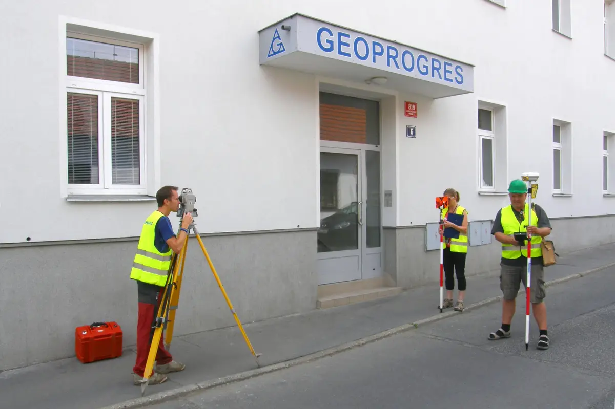
We carry out surveying work in construction and cadastre, geometric plans, property boundary marking, building demarcation, documentation of actual construction, purpose maps and project documents. Development and real estate activities. We work throughout the whole territory of the Czech Republic.
If you need surveyors, you can contact us. We will send you a quotation and a possible date of realization of the contract. We work accurately, quickly and at reasonable prices. We provide comprehensive services in surveying.
Geodetic work - geometric plans, surveying of buildings, land and utilities, project documents, deformation measurements and more. Useful surveying services for property owners, developers, designers and builders.
Provide full surveying services and land registry advice. We offer preparation of geometric plans, delineation of land boundaries, building objects, geodetic work in investment construction, preparation of documents for projects and more.
Offering full surveying services including legal services. Surveying of land, delineation of buildings, preparation of geometric plans for land division, registration of buildings, easements and specification of property boundaries.
We carry out all geodetic work, preparation of documentation Digital Technical Map. We make geometric plans, documentation of buildings and boundary marking. We survey utility networks, map documents, actual condition of buildings for reconstruction, we offer OG activities and preparation of expert reports and consultations.
Complete geodetic work: geometric plans, surveying of elevation and semi-elevation, delineation of boundaries, building passport, delineation of buildings on the land, preparation of owner's declaration, surveying of utility networks, revision of the land register.
We carry out all surveying work. We specialise in the delineation and surveying of utilities, especially gas pipelines. We also offer plotting and surveying of the actual construction of all buildings for approval. Furthermore, we provide documentation for projects. And also land boundary marking and geometric plans.
We carry out all geodetic work, preparation of documentation Digital Technical Map. We make geometric plans, documentation of buildings and boundary marking. We survey utility networks, map documents, actual condition of buildings for reconstruction, we offer OG activities and preparation of expert reports and consultations.
We offer work in the field of engineering surveying. We provide the creation of special purpose maps and preparation of geometric plans. We focus documentation of the actual execution of buildings. We are holders of ISO 9001 quality certificate. We use Trimble instruments for our work. We offer the background of a family business.