We provide comprehensive services in the field of geodesy and photogrammetry. We offer design of buildings, statics, fire safety solutions. We deal with 3D laser scanning, metrology and measurement for industry.
Our biggest project at the moment is the GObec map server. It is the first internet mapping application with remote access to CN via WSDP service of ČÚZK. Currently, our GObec system is used by users of several hundred municipalities and towns throughout the Czech Republic.
We perform complex geodetic work. Geometric plans, surveying of buildings and delineation of boundaries. We produce map documents for designers. Digital terrain models. Measurement of buildings by 3D scanner. Engineering surveying. Thermal imaging of buildings.
We sell Trimble surveying instruments such as total stations, theodolites, levelers, GPS, DGPS, RTK, GPS for GIS, construction lasers, range finders and software. We represent the world's leading brands such as FARO, senseFly and Handheld. We provide professional service and technical support.
The family farm farms organically, raising sheep, growing fruit and landscaping. A sideline is the production, management and analysis of spatial data, bespoke maps and consultancy in the fields of geoinformatics and cartography, education and municipal policy.
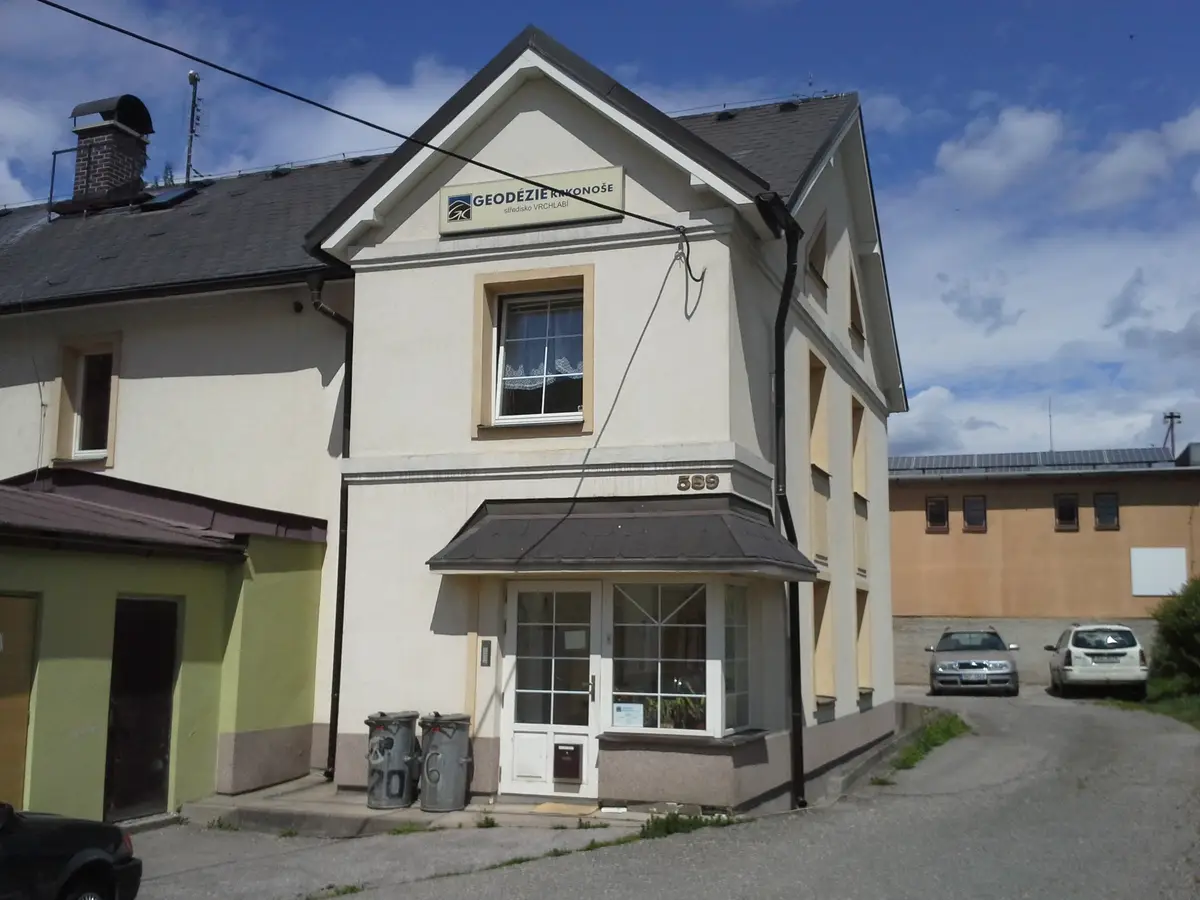
We offer comprehensive services in the field of geodesy and cartography: cadastre of real estate, engineering geodesy, mapping, cartography, land development, geographic information systems and geoinformation technologies.
We offer comprehensive services in the field of geodesy and cartography: cadastre of real estate, engineering geodesy, mapping, cartography, land development, geographic information systems and geoinformation technologies.
We offer comprehensive services in the field of geodesy and cartography: cadastre of real estate, engineering geodesy, mapping, cartography, land development, geographic information systems and geoinformation technologies.
We offer comprehensive services in the field of geodesy and cartography: cadastre of real estate, engineering geodesy, mapping, cartography, land development, geographic information systems and geoinformation technologies.
We offer comprehensive surveying services and land registry work, land boundary delineation, geometric plans, mapping, engineering surveying, technical maps and land development. We are a leading partner in the field of land surveying. We provide colour copying (A0+) and GIS.
Our geodetic company provides geodetic work, geometric plan, delineation, easement solution. We provide surveying, surveying of DGN/DWG, 3D, GIS service and work for the cadastre.
I offer cartographic work. I provide mapping and land surveying. I also produce special maps for orienteering, tourist routes or town and village plans. I implement geographic information systems, digital maps and terrain models.