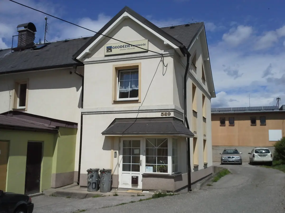
Geodézie Krkonoše, s.r.o.
Harrachov 599
We offer comprehensive services in the field of geodesy and cartography: cadastre of real estate, engineering geodesy, mapping, cartography, land development, geographic information systems and geoinformation technologies.