List of businesses
GB-geodezie

GB-geodezie

  • Geographic information systems
Dolní 165/1, Žďár nad Sázavou 1
We offer comprehensive surveying services and land registry work, land boundary delineation, geometric plans, mapping, engineering surveying, technical maps and land development. We are a leading partner in the field of land surveying. We provide colour copying (A0+) and GIS.
1. Geo, spol. s r.o.

1. Geo, spol. s r.o.

  • Geographic information systems
Horní 2299/36, Žďár nad Sázavou 1
Our geodetic company provides geodetic work, geometric plan, delineation, easement solution. We provide surveying, surveying of DGN/DWG, 3D, GIS service and work for the cadastre.
GEOKART

GEOKART

  • Geographic information systems
U Soudu 536/6a, Liberec II-Nové Město
Closed · opening tomorrow at 8:00 at 8:00
Offer of surveying work. Sale of surveying instruments and tools.
Ing. Pavel Struha

Ing. Pavel Struha

  • Geographic information systems
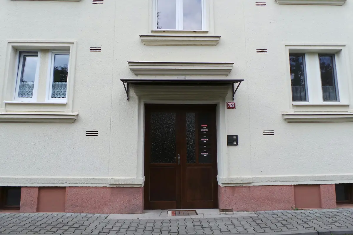
Mírová 769, Dobruška
I offer GIS and special purpose maps, historical and current aerial photography or land use planning.
Geodézie Krkonoše, s.r.o.

Geodézie Krkonoše, s.r.o.

1 review
  • Geographic information systems
Harrachov 599
We offer comprehensive services in the field of geodesy and cartography: cadastre of real estate, engineering geodesy, mapping, cartography, land development, geographic information systems and geoinformation technologies.
Geodézie Krkonoše, s.r.o.

Geodézie Krkonoše, s.r.o.

  • Geographic information systems
Pražská 135, Trutnov, Horní Předměstí
We offer comprehensive services in the field of geodesy and cartography: cadastre of real estate, engineering geodesy, mapping, cartography, land development, geographic information systems and geoinformation technologies.
GEODÉZIE-LT s.r.o.

GEODÉZIE-LT s.r.o.

  • Geographic information systems
Zítkova 704/6, Litoměřice, Předměstí
Closed · opening tomorrow at 7:00 at 7:00
We offer comprehensive surveying services that include creating geometric plans, delineating land boundaries and surveying utility networks. Using modern surveying techniques and software, we strive to meet the needs of our customers to the maximum extent possible. Our services are focused on quality and efficiency.
Ing. Marek Fáber

Ing. Marek Fáber

  • Geographic information systems
Zvěrotice 53
Open · based on phone agreement
Engineering geodesy: map documents for the project, construction layout, actual design. Real estate cadastre: geometric plans, delineation of land boundaries.
Petr Mareček - omapy.cz

Petr Mareček - omapy.cz

  • Geographic information systems
Blažíčkova 687, Nové Město na Moravě
Open · Nonstop
I offer cartographic work. I provide mapping and land surveying. I also produce special maps for orienteering, tourist routes or town and village plans. I implement geographic information systems, digital maps and terrain models.
RNDr. Jaroslav Kotík

RNDr. Jaroslav Kotík

  • Geographic information systems
Děčínská 168, Velké Březno
I provide technical consultant services in the fields of land use planning, urban design, environmental protection, architecture and 3D visualization. I design graphic information systems for cities and municipalities, create thematic maps and provide consultancy. I prepare urban planning, search and verification studies.
MK Consult, v.o.s.

MK Consult, v.o.s.

  • Geographic information systems
Drážďanská 493/40, Ústí nad Labem, Krásné Březno
Development of software and data services for geographic information systems. Professional passporting of municipal property, providing preparation of passports for roads, public lighting, public green spaces, sewers and other facilities.
COMPACT OFFICE, s.r.o.

COMPACT OFFICE, s.r.o.

  • Geographic information systems
Hradecká 167, Kunžak
Offering hardware and software support including installation, warranty and post-warranty service, creation and management of geographic data for municipal information systems and obtaining grants from European funds. We provide geometric plans or field work.
GpŠ Šedivý, s.r.o.

GpŠ Šedivý, s.r.o.

2 reviews
  • Geographic information systems
Nádražní 476, Nepomuk
Closed · opening tomorrow at 8:00 at 8:00
I am Ing. Daniel Šedivý and with my colleagues I provide geodetic services. Areas: land registry, construction, property passporting, 3D data collection and mining industry. Mostly: geometric plans, boundary marking, surveying in construction industry, building passports, point clouds and orthophotos. I look forward to working with you.
GEO Hrubý spol. s r.o.

GEO Hrubý spol. s r.o.

  • Geographic information systems
Doudlevecká 730/26, Plzeň, Jižní Předměstí
Closed · opening tomorrow at 8:00 at 8:00
We perform special surveying work, geometric plans, land boundary delineation, map digitization and GPS work.

Is a business missing? We would be glad if you could send us a suggestion.

We display results 2942 of total 42 found

from Geographic information systems category in Kolín District.