We perform complex geodetic work. Geometric plans, surveying of buildings and delineation of boundaries. We produce map documents for designers. Digital terrain models. Measurement of buildings by 3D scanner. Engineering surveying. Thermal imaging of buildings.
We provide geoinformation services based on the use of satellite data. We offer sales of satellite data, processing, analysis and evaluation of satellite and aerial imagery, development of geoinformation systems, preparation of map web portals for interactive visualization and evaluation of spatial data.
Landscape Character Assessment. Study of the assessment of the impact of the proposed project on the Landscape Character according to the provisions of §12 of Act 114/1992 Coll. on Nature and Landscape Protection.
I offer cartographic work. I provide mapping and land surveying. I also produce special maps for orienteering, tourist routes or town and village plans. I implement geographic information systems, digital maps and terrain models.
Technical processing of GIS and CAD data in the field of urban planning. Preparation of drawings for land use plans. We offer services to municipalities and counties in the field of work with spatial analysis documents and projects.
Engineering geodesy: map documents for the project, construction layout, actual design. Real estate cadastre: geometric plans, delineation of land boundaries.
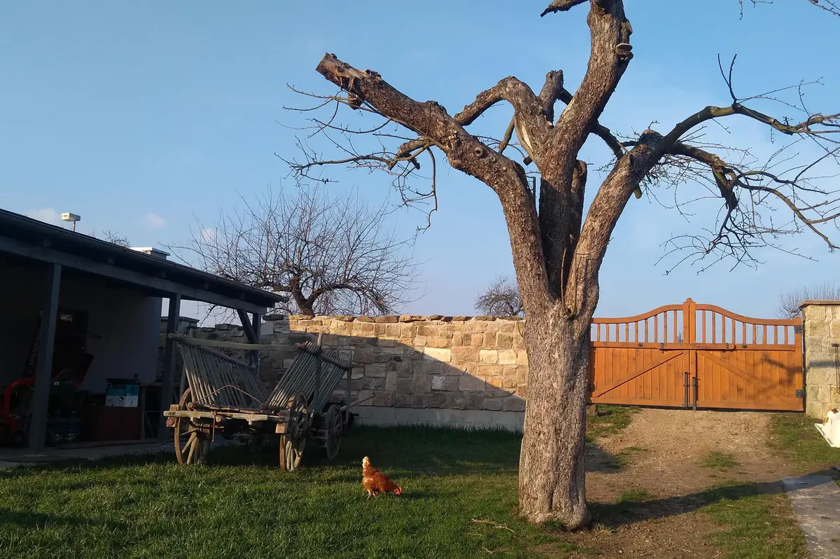
This family farm operates organically, raising sheep, growing fruit, and engaging in landscape management activities. Its secondary activities include model-making and providing consulting services in the fields of geoinformatics and cartography, education, and local politics.
Surveying, we provide geometric plans, parcel boundary delineation, construction staking, documentation of actual construction, deformation tracking, purpose maps, mining surveying, GPS, leveling. We offer engineering and consulting in the field of cadastre.
Surveying, we provide geometric plans, parcel boundary delineation, construction staking, documentation of actual construction, deformation tracking, purpose maps, mining surveying, GPS, leveling. We offer engineering and consulting in the field of cadastre.
Offering hardware and software support including installation, warranty and post-warranty service, creation and management of geographic data for municipal information systems and obtaining grants from European funds. We provide geometric plans or field work.