We offer comprehensive surveying work for buildings and land. We provide geometric plans for registration in the Land Registry (new construction, land transfer, easements), delineation of land boundaries, mapping (semi-althography, altimetry), delineation of buildings, surveying of buildings and houses for approval and laser scanning.
We carry out work in land registry and engineering surveying. We offer surveying and cartographic works. We provide documentation for the execution of constructions. We deal with geometric plans, delineation of land boundaries and engineering geodesy for municipalities, construction companies and designers.
We are a Czech supply and engineering company focused on projects in the nuclear power, conventional power, heating and construction industries with an emphasis on machinery, steel structures, heat sources and heat distribution, pipelines, tanks, valves, pumps, etc.
We are engaged in land surveying work in the land registry including preparation of geometric plans, division of land, delineation of land boundaries, marking of easements. We offer our services to private persons, municipalities, construction companies, real estate agencies and entrepreneurs.
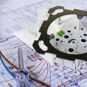
We provide a full range of services in the electrical and other industries. We provide power quality measurements, reflectometric measurements of electrical circuits, equipment and switchgear testing, circuit diagnostics, and electric vehicle testing. We are engaged in the design of electrical equipment.
We carry out work in land registry and engineering surveying. We offer surveying and cartographic works. We provide documentation for the execution of constructions. We deal with geometric plans, delineation of land boundaries and engineering geodesy for municipalities, construction companies and designers.
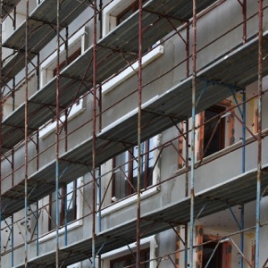
Complete services in the fields of - construction, building and reconstruction, tiling work. Complete services in the fields of - doors, frames and fittings.
We provide installation of vinyl and floating floors. Complete services in the fields of - water distribution, gas, heating, solar systems.