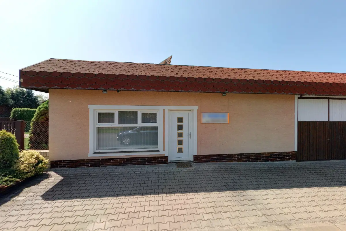




We provide land surveying, delineation of land boundaries and machinery, professional consultation and advice, creation of geometric plans and map documents.
We provide preparation of geometric plans, delineation of boundaries of land and buildings, verification of the condition of real estate and bringing inaccuracies of data into conformity with reality, verification of copies of geometric plans, measurement of utility networks, creation of digital mapping documents. Provision of consultancy services.
We carry out surveying work. I provide the preparation of geometric plans, such as the division of land, changing its boundaries, marking buildings or marking the extent of the right. I also provide professional consulting services in the field of land registry. Representation in proceedings at cadastral offices.
We display 3 results found
with tag Digitální technická mapa from Engineering services category in Mladá Boleslav District.
1473
Search results Digitální technická mapa in category engineering services, district Mladá Boleslav District Central Bohemian Region in the catalogue