


BELO ENERGY s.r.o.
U Trezorky 921/2, Praha, Jinonice
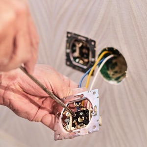
We provide comprehensive design services and engineering for modern energy. We deal with electrical design, design of photovoltaic power plants, battery storage, carports and agrovoltaics. We will prepare the project documentation, arrange communication with the authorities on your behalf, and even arrange building permits.
Offer: Projektování elektroinstalací


