Geodetic office provides geodetic work: preparation of geometric plans - marking of buildings, division of land, easements. Delineation of land boundaries. Engineering geodesy, map documents. Plotting of buildings and surveying of their actual execution. Expert legal advice in the land registry.
We provide surveying work, geometric plans and thematic maps. We offer surveying of the actual execution of utility structures, positioning, elevation, building delineation, documentation of the actual execution of the construction for E.ON Czech Republic. We also provide calculation of levies from the agricultural native fund.
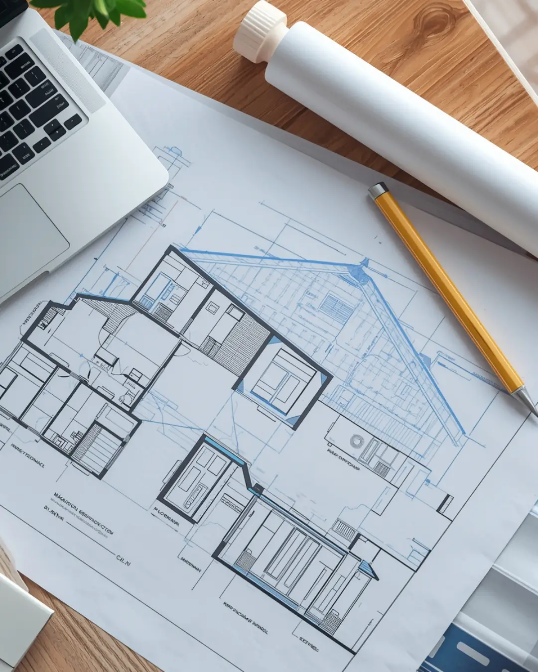
We carry out all geodetic work in land registry and engineering geodesy. Geometric plans, land boundary demarcation, building demarcation, surveying of utility networks, position and elevation plans, 3D scanning
We create geometric plans including position and elevation documents. We perform delineation of boundaries or surveying of utility connections, inspection and verification measurements during acceptance of parts of buildings, creation of geometric plans for registration of completed buildings.
Services for „Dokumentace skutečného provedení stavby Přerov“
We focus on land development design, preparation of geometric plans, engineering activities in capital construction and design activities in construction. We provide professional software for farmers.
We provide geodetic work, geometric plans, easements and delineation of property boundaries and buildings. We offer engineering and cadastral surveying. We provide documents for the preparation of project documentation. We operate in Moravia, especially in the Olomouc Region.
Geometric plans, boundary marking, DTM entries, control measurements, position and elevation plans. We provide a building passport, building authority and registration of the building in the Land Registry. All geodetic work in the construction industry building demarcation, surveying of the actual construction, control measurements.
We deal with the processing of project documentation of transport structures and all geodetic activities. We cooperate with permanent subcontractors, which are designers of utilities, bridges, vegetation management and architects. We also supply project documentation for road construction.
We offer a full range of surveying services for your project. We provide surveying of the base for the project, mapping, delineation, control measurements and preparation of documentation of the actual construction. Furthermore, geometric plans, delineation of land boundaries. Our services for companies, investors, private persons.
Surveying work for construction and design companies, municipalities and private persons in the Olomouc region. We provide documents for projects, GIS mapping, delineation of buildings and land boundaries, surveying of actual design and geometric plans for road construction, sewerage and water supply, storage halls, family houses.
Our company offers and provides comprehensive services to owners and managers of real and movable property, project, implementation and administrative institutions. We provide consultancy in the areas of real estate cadastre and geodesy. We offer surveying of buildings, land division, boundary marking and more.
We provide comprehensive processing of all stages of project documentation of civil engineering structures and engineering activities. We focus on residential construction, civic amenity buildings, schools, pre-school and school facilities, industrial or agricultural buildings.
Offering surveying, design and engineering services. Creation and management of geographic information systems. Surveying of position and elevation for building projects, plotting of surface and linear structures. Creation of projects for central heating and boiler rooms, health installations and houses and small buildings.