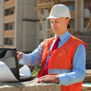
We provide consulting, design and engineering services in the field of water management. Staff are qualified in hydraulic, civil, chemical, transport, mechanical and electrical engineering and structural engineering.
We carry out surveying and land development work. We specialise in measuring and evaluating vertical and horizontal displacements of structures and deformations. We perform creation of base maps, digitization of siding plans.
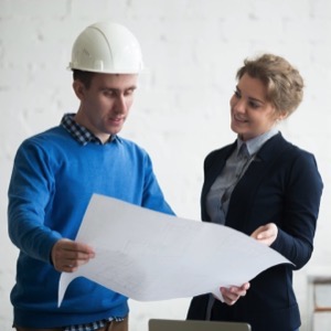
We operate a design and engineering office. We deal with layout design. We offer processing of project documentation and relevant permits. We also organize the tender for contractors and carry out construction supervision. We carry out expert opinions.
We offer design work for building design - studies, projects for planning permission / building notifications and for construction execution. Projects for subsidy programs Green Savings and Rainfall. We also offer surveying and passporting of existing buildings, preparation of PENB.
Complete geodetic work: geometric plans, surveying of elevation and semi-elevation, delineation of boundaries, building passport, delineation of the building on the land, processing of the owner's declaration, surveying of utilities, revision of the land register.
Providing a comprehensive service for building inspectors in water, civil, industrial and building construction. We provide engineering, consulting, and surveying services. We provide subsidies, mathematical modelling, design of sewers, watercourses, reservoirs and WWTPs.
I provide 3D laser scanning of buildings, spaces and facades, creation of measuring drawings and 3D models. I offer digitization of architectural monuments and photogrammetry.
We are general building contractors We are surveyors and we survey in 2D, 3D and drones We are locksmiths We are electricians. We offer modern surveying services. Our methods include laser scanning and aerial photogrammetry for accurate measurements. We will build your dream home from design to completion.
Offering structural and architectural work. We provide project documentation for planning and related engineering, building permits, documentation for tendering and cooperation in the selection of contractors, approvals, implementation project documentation.
The activities of our geodetic company include mainly engineering geodesy, mapping, geographic information systems and cadastre. Special geodetic works include geotechnical monitoring and presentation of its results in Cubula.
Engaged in engineering surveying, creating geometric plans and performing surveying work. We provide delineation of parcel boundaries, consulting and solving problems arising in the land registry, creation and maintenance of databases of geodetic points and deformation measurements, surveying as a basis for designers.
Offering design, engineering and business services. We prepare planning, urban design, architectural and EIA studies including noise and dispersion or traffic load studies. We provide authoring or construction supervision of buildings. We provide consultations in the field of civil engineering.