Complete presentation and marketing of real estate and development projects. Our clients sell up to 17% cheaper and up to 80% faster. Full service - customized strategy, consulting, photos, video, floor plans, visualizations. 3,000+ properties, 700+ clients, 14+ specialists.
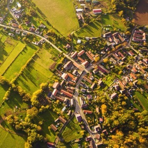
We offer geometric plans, property boundary marking, plotting and documentation of the actual condition of buildings (monolithic and steel structures) and utilities. We provide 2D and 3D mapping documents, building surveying, mining surveyor activities. We are equipped with robotized total stations.
Bring3D helps manufacturers better sell complex and configurable products with 3D/AR configurators, BIM/Revit documents, exports to common 3D formats, and automated creation of photorealistic product visuals for web, retail, architects, partners, and marketing.
We deal with civil engineering documentation and engineering surveying. We provide development of surveying software, preparation of geometric plans and surveying of buildings. We provide consultancy in the field of land registry.
We provide surveying and photogrammetric work. We provide land plotting, surveying of position and elevation, digitizing of maps and plans. We offer surveying of pipeline systems, inaccessible rock walls, quarries, chemical and engineering plants. We provide deformation measurements, 3D models and more.
We provide surveying work. We provide the preparation of a geometric plan for the survey of buildings, for the refinement of boundaries, for the division of land. We also offer delineation of land boundaries in the field, map documents for the project, i.e. position and elevation plan. We deal with the creation of contracts for the Land Registry.
We specialize in aerial work with drones: thermography, photogrammetry, video and photo production. Professional services for your projects with centimeter accuracy. Damage mapping, animal search, hunt audit, inspections (roofs, fve), 3d models, promotional photo/video.
We provide surveying work. We provide the preparation of a geometric plan for the survey of buildings, for the refinement of boundaries, for the division of land. We also offer delineation of land boundaries in the field, map documents for the project, i.e. position and elevation plan. We deal with the creation of contracts for the Land Registry.
We are general building contractors We are surveyors and we survey in 2D, 3D and drones We are locksmiths We are electricians. We offer modern surveying services. Our methods include laser scanning and aerial photogrammetry for accurate measurements. We will build your dream home from design to completion.
Providing services in vectorization and creation of 3D models or conversion of paper documentation into digital form. Supply of large format printers. We create 3D interactive landscape visualizations, mine survey documentation, design mineral extraction and mitigation.
We offer a complex of services in the field of geodesy, laser scanning, 3D documentation, photogrammetry, construction machinery control and data preparation, aerial work by drones.