Delineation of property boundaries, geometric plans, building delineation, elevation and semi-elevation surveying of land, geodetic surveying of utilities, building passports, easements, contracts required for entry into the Land Registry and documentation for owner's declaration.
We provide land surveying, delineation of land boundaries and machinery, professional consultation and advice, creation of geometric plans and map documents.
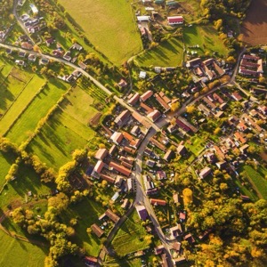
Our intention and goal is to provide services using the DJi Mavic 3M Enterprise drone. Some of our services include processing data collected by the drone for precision agriculture, mapping fields and land, measuring damage to land (wildlife, frost, flooding, etc.).
I provide photogrammetric and surveying work in the area of endangered monuments. Documentation of building and archaeological monuments. Since 2026, I have been providing energy consultancy services to municipalities from the position of a shared energy manager of the Central Bohemia Region.
Our company was established with the aim of providing comprehensive surveying services to a wide range of clients with an emphasis on a personal approach, quality of workmanship and clear communication between the company and the client.
We carry out surveying work in construction and land registry. Plotting and documentation of the actual execution of buildings and utilities, position and elevation plans, purpose maps and project documents, geometric plans, property boundary delineation.
We offer geodetic work, geodesy - geometric plans, land surveying, surveying of utilities, surveying of buildings, surveying of the actual construction of buildings, surveying of crane tracks, calculation of cubatures, purpose maps, surveying of apartments, deformation of buildings.
We are a purely Czech company that has been operating on the market since 1991. During that time we have developed into one of the largest providers of geomatics services in the Czech Republic. We provide comprehensive services in the areas of engineering geodesy, geographic information systems, 3D data and BIM.
We provide sales, service and hire of Trimble levelling systems for construction machinery and measuring systems for surveying, excavation and inspection work. We also offer surveying services including the creation of digital terrain models that can be used for cubage calculations and control work.
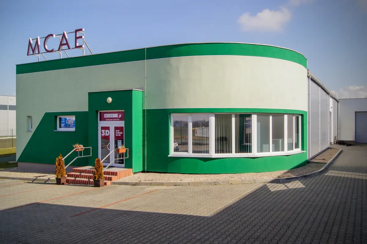
Offering computer aided mechanical engineering, design programs and new systems. We provide 3D modeling or 3D digitizing and measurement. We also provide training and seminars. We provide technical support for products, for example in the form of warranty and post-warranty service.
Taking aerial shots to detailed inspections with a thermal imaging camera. Photography and filming for marketing, documentation and other purposes. Inspection of photovoltaic and wind power plants, and power lines. We detect damage and deficiencies before they become a serious problem. Searching for: people and wildlife.