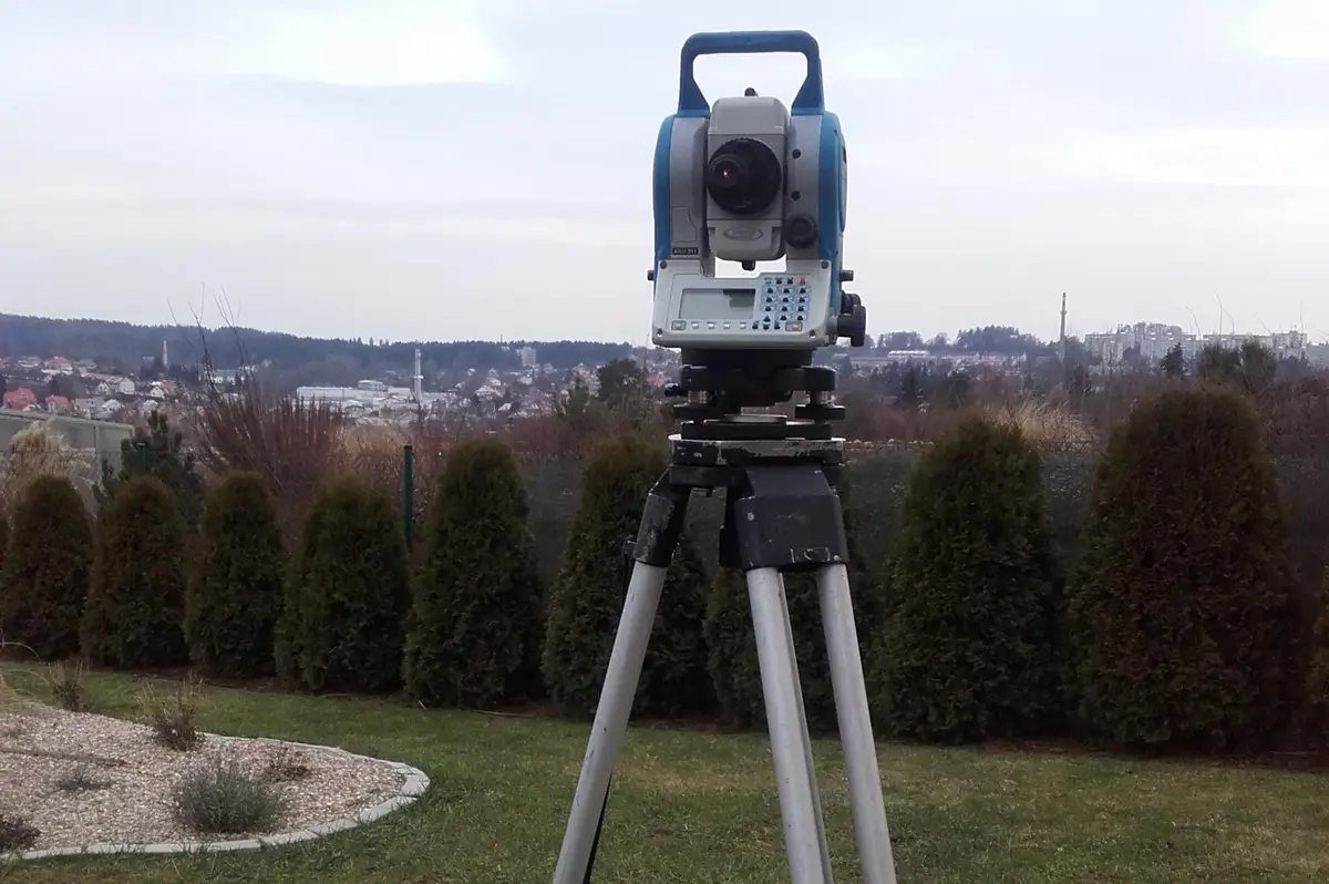



We offer comprehensive services in the field of geodesy and cartography: cadastre of real estate, engineering geodesy, mapping, cartography, land development, geographic information systems and geoinformation technologies.
I provide drone flying services. I specialize in high-altitude inspections of objects, buildings and terrain, both visual and thermal, using a drone with a thermal camera. I also offer 2D/3D mapping, aerial photography and video, creation of 3D models using drones. I use modern technologies.
I'm a licensed land surveyor. I work mainly in the Hradec Králové and Liberec regions, in the districts of Trutnov, Náchod, Semily and Jičín. I provide all surveying services in engineering geodesy and cadastre.
We offer a comprehensive surveying service. We focus on surveying buildings, roads, bridges, steel structures and crane tracks, actual construction, mapping for projects, geometric plans for land subdivision, new construction and easements. We provide contract drafting.
We offer comprehensive surveying services. We provide documentation for projects, position and elevation plans, preparation of documentation of the actual construction, surveying of utilities, geometric plans, delineation of land boundaries or construction staking. We process documents digitally.