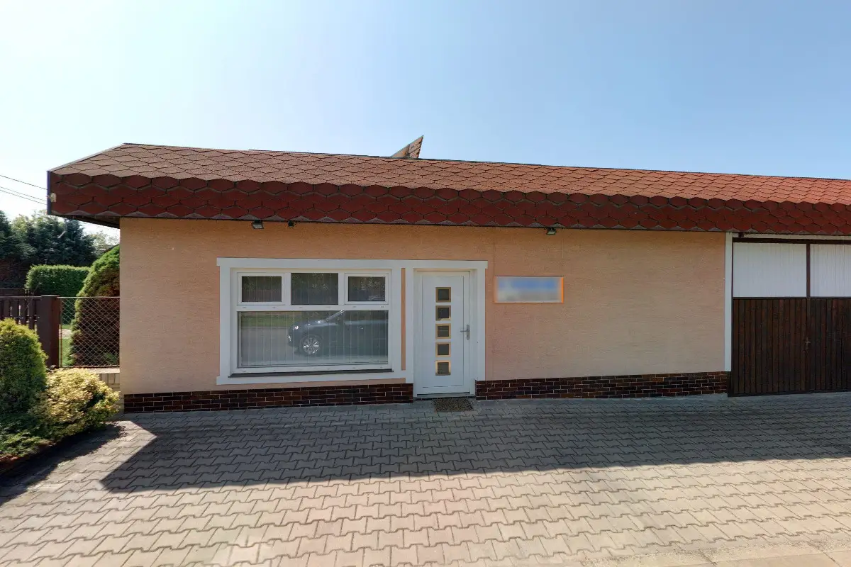
We can help you improve the progress and results of your construction project and give you peace of mind knowing that your project will be completed safely. If you are thinking about building (not just) a house or have a completed project and have a lot of other paperwork to deal with, contact us. We know the issues.
We carry out all geodetic work, preparation of documentation Digital Technical Map. We make geometric plans, documentation of buildings and boundary marking. We survey utility networks, map documents, actual condition of buildings for reconstruction, we offer OG activities and preparation of expert reports and consultations.
We provide surveying work. We provide the preparation of a geometric plan for the survey of buildings, for the refinement of boundaries, for the division of land. We also offer delineation of land boundaries in the field, map documents for the project, i.e. position and elevation plan. We deal with the creation of contracts for the Land Registry.
Land surveys - technical and legal, for builders, investors and real estate agents. Real estate services - sales, rentals. Engineering services - construction preparation, planning and construction management, project management of development projects.
Complete geodetic work: geometric plans, surveying of elevation and semi-elevation, delineation of boundaries, building passport, delineation of the building on the land, processing of the owner's declaration, surveying of utilities, revision of the land register.
We carry out all geodetic work, preparation of documentation Digital Technical Map. We make geometric plans, documentation of buildings and boundary marking. We survey utility networks, map documents, actual condition of buildings for reconstruction, we offer OG activities and preparation of expert reports and consultations.
Complete geodetic work: geometric plans, surveying of elevation and semi-elevation, delineation of boundaries, building passport, delineation of buildings on the land, preparation of owner's declaration, surveying of utility networks, revision of the land register.
We provide complete geodetic work for the Land Registry (land division, surveying of buildings for approval, delineation of property boundaries, easements) and engineering geodesy (surveying of documents for projects, delineation of spatial position of buildings, surveying of the actual design of buildings).
Comprehensive service in geodesy and cadastre. Geometric plans for approval, land division, boundary refinement, easements, etc. Delineation of boundaries. Delineation of buildings. Surveying of the actual design. Surveying of water and sewage connections. We will prepare a passport of the construction for you. Owner's declaration.
We offer engineering and building surveying services. We provide utility surveying, property boundary delineation, building placement in the ground or terrain mapping.
Offering surveying services. Carrying out mapping, delineating boundaries and parcels, designing and processing land improvements. Creation of geometric plans and digital cartographic products. We provide town plans, descriptive number maps, regional maps, wall maps. We provide legal service.