


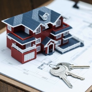


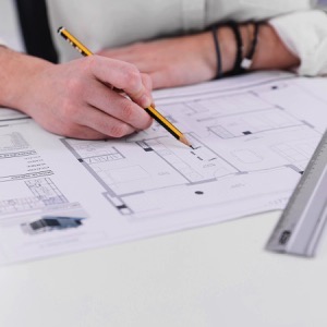

Acquisition and preparation of land-use plans, regulatory plans and land-use studies. Implementation of design and engineering. Also the acquisition of building closure, comprehensive investor services in the construction and other services.
We carry out surveying work in construction and cadastre, geometric plans, property boundary marking, building demarcation, documentation of actual construction, purpose maps and project documents. Development and real estate activities. We work throughout the whole territory of the Czech Republic.
Supply of capital units and overhauls of substations, unrestricted substations and transformer stations and line cable structures, including installation of cable fittings in voltage levels 1 to 110 kV. We provide design and engineering activities, service and repair of electrical equipment.
We provide property boundary and building surveys and surveying for projects. We make a geometric plan for entry into the land registry. We create special purpose maps in digital form. We submit a proposal for entry into the Real Estate Cadastre.
We provide comprehensive surveying work in the field of land registry and engineering surveying, geometric plans, land division, boundary marking, construction. We offer surveying of facades and construction objects, monitoring of deformations of construction objects, surveying and calculation of geometric parameters of crane tracks.
We provide geodetic work. We will make for you geometric plans for surveying buildings, refinement of boundaries, division of land, for delineation of easements. We also offer surveying or delineation of the boundaries of the land, delineation of the building, map documents for the project - semi-mapping, surveying of flats, passport of buildings.
Our surveyors provide complete land surveying and geodetic work - surveying (marking out of buildings, monoliths, land), surveying (surveying of buildings, mapping for projects, hot pipelines), geometric plans, easements and owner's declarations. We work throughout the Czech Republic and abroad.
We carry out surveying work. We offer surveying plans, property boundary delineation, mapping for design and surveying of completed buildings. We offer surveying of laying of utilities with digital processing according to the regulations of the administrators, determination of cubatures of bulk material dumps and more.
We provide geodetic work, delineation of buildings and parcel boundaries, land division, surveying for the project. We prepare a geometric plan for approval, for easement, technical and precise leveling. We provide surveying of the actual condition of the terrain, utilities, watercourses and roads.
We carry out all geodetic work, preparation of documentation Digital Technical Map. We make geometric plans, documentation of buildings and boundary marking. We survey utility networks, map documents, actual condition of buildings for reconstruction, we offer OG activities and preparation of expert reports and consultations.