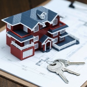
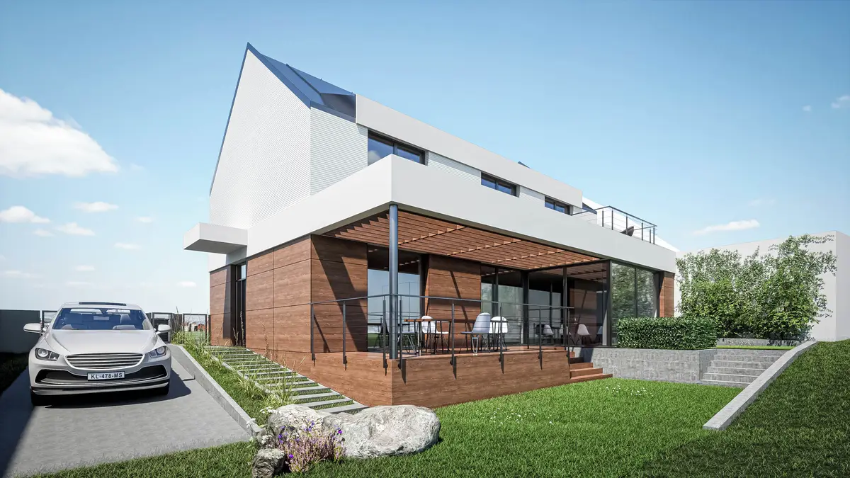
We operate a construction and design office. We provide all the work from the initial investor's plan, design, implementation to the actual building approval.
We carry out surveying activities - geometric plans for the Land Registry, delineation of property boundaries, surveying of easements. Engineering surveying - delineation and surveying of buildings, surveying and preparation of special purpose maps, elevations, documents for projects.
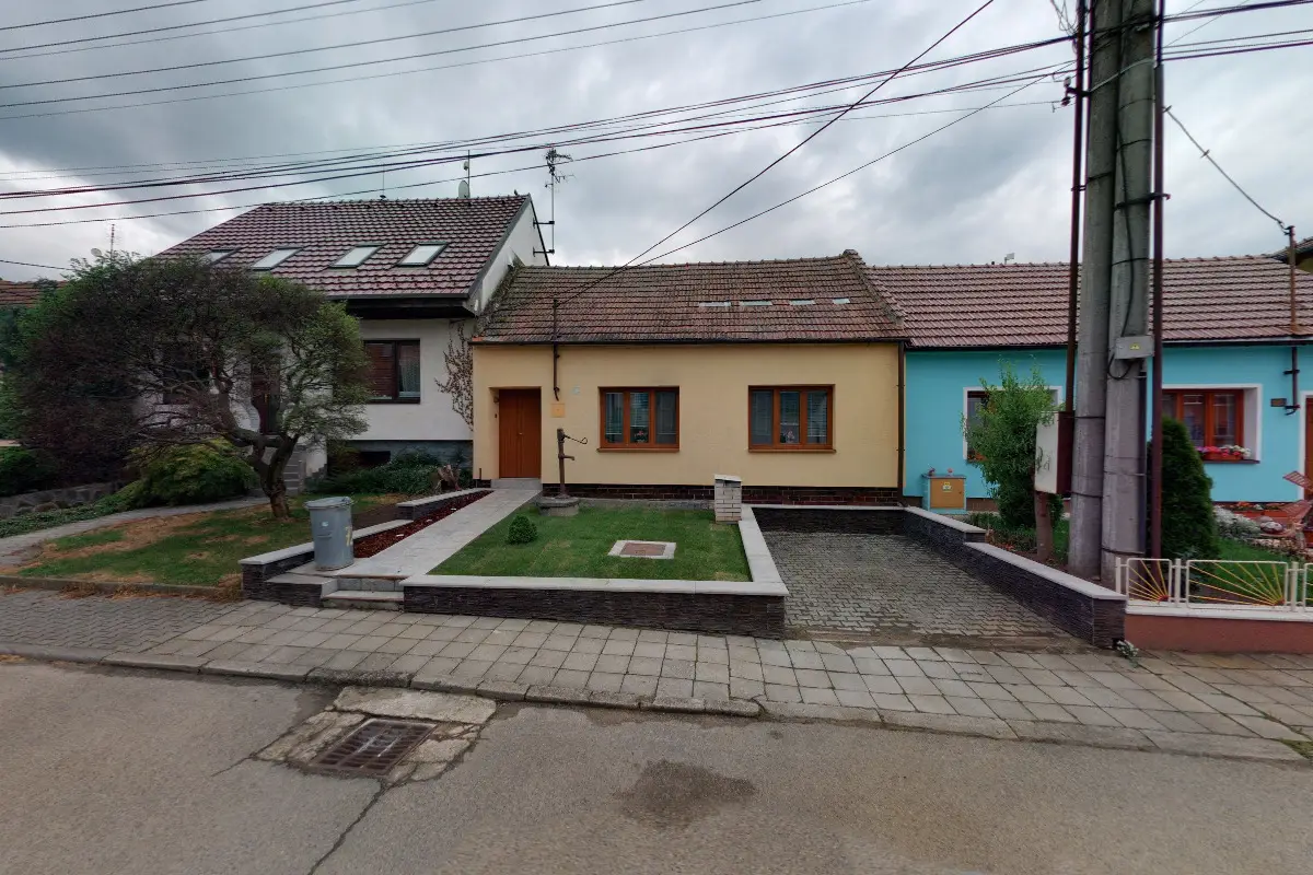
Geodetic surveying for architects and designers. Surveying of the actual condition of the land, house, office building, historical building, production hall, wine cellar. Drawings and 3D models for passport, reconstruction, demolition, owner's declaration and digitization of production processes.
We are a surveying office for small and large projects. We focus on engineering surveying, geometric plans, land boundary demarcation, land development, property settlement of buildings, passporting of buildings, surveying of position and elevation for the project and survey elaborations. We are efficient and high quality
We offer comprehensive surveying work for buildings and land. We provide geometric plans for registration in the Land Registry (new construction, land transfer, easements), delineation of land boundaries, mapping (semi-althography, altimetry), delineation of buildings, surveying of buildings and houses for approval and laser scanning.
Geometric plans - easements. Delineation of boundaries - buildings - utilities. Mapping for construction - DSPS and all geodetic and cartographic work.
We do all surveying work - geometric plans, land division, easements, marking of buildings, delineation of property boundaries, surveying for a project, positioning, elevation of buildings and more. Building surveying - floor plans, views, facade surveying, building alignment.
We do all surveying work: geometric plans, land division, easements, marking of buildings, delineation of land boundaries, surveying for the project, positioning, elevation of buildings and more. Building surveying - floor plans, views, facade surveying, building alignment.
We specialize in roads and paved surfaces. We offer road design and related engineering, traffic engineering and telematics, pavement diagnostics, maintenance, repair and reconstruction design, road safety auditor training and more.
We provide surveying work. We provide the preparation of a geometric plan for the survey of buildings, for the refinement of boundaries, for the division of land. We also offer delineation of land boundaries in the field, map documents for the project, i.e. position and elevation plan. We deal with the creation of contracts for the Land Registry.
We offer surveying and preparation of geometric plans, delineation of land boundaries and consulting services. In investment construction, we offer the processing of geodetic documents for the design of construction objects, such as houses and apartment buildings, the delineation and surveying of utility networks, etc.
We do all surveying work: geometric plans, land division, easements, marking of buildings, delineation of land boundaries, surveying for the project, positioning, elevation of buildings and more. Building surveying - floor plans, views, facade surveying, building alignment.
Offer of surveying works. Creation of map documents. Acquisition and collection of data for GIS. Provision of all surveying works from engineering surveying to building surveying, edgeless facade surveying to land registry.