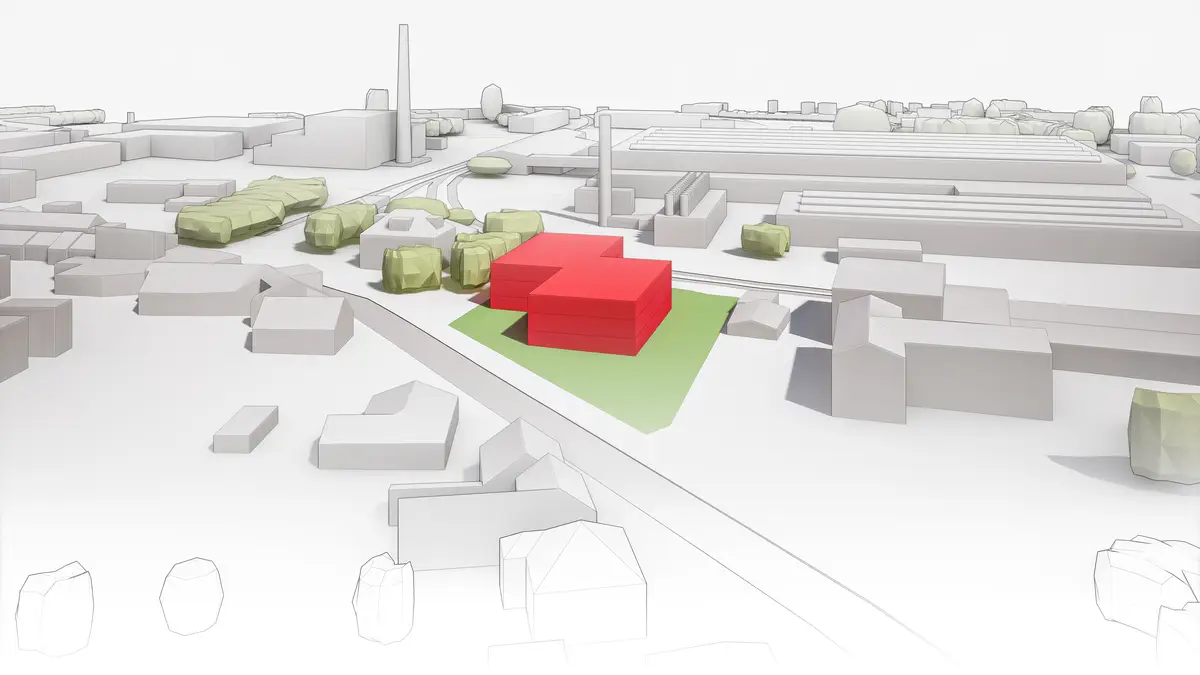

Offer surveying work, creation of geometric plans, land and building delineation and surveying for project documentation. Providing services in the field of engineering surveying. Creation of geographic information systems. Possibility of consulting activities in the cadastre of real estate.
We do all surveying work in land registry such as geometric plans, easements, property boundary demarcation and in engineering surveying such as surveying and demarcation of buildings, connections, purpose mapping and project documents, laser scanning, aerial photogrammetry.