We are a smaller surveying firm with offices and contracts throughout the Czech Republic. We specialize in complex activities in the field of geodesy and surveying.
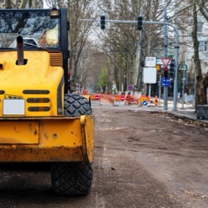
We perform surveying work. Surveying of a building or addition, division of land, delineation of easements, boundary refinement, delineation of property boundaries, geometric plan, elevation and position survey of land as a basis for a project.
We carry out surveying activities - geometric plans for the Land Registry, delineation of property boundaries, surveying of easements. Engineering surveying - delineation and surveying of buildings, surveying and preparation of special purpose maps, elevations, documents for projects.
We perform all surveying work in land registry and investment construction. We prepare geometric, position and location plans, we carry out delineation of land boundaries, surveying of buildings and utility connections for approval within a maximum of 3 days.
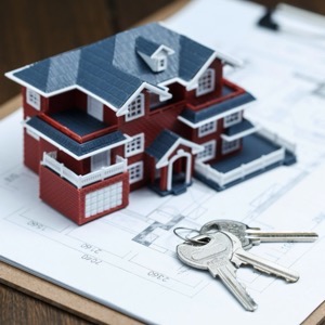
We do all surveying work, plans for land division, marking of buildings for the land register, altimetry measurements and building demarcation. We prepare a levelling report for building approval. We provide real estate appraisals.
I provide work related to the maintenance of the Land Registry. The range of services includes surveying of buildings, division of land, marking of easements, demarcation of parcels. I create geometric plans. I deal with engineering geodesy in construction.
Geodetic surveying for architects and designers. Surveying of the actual condition of the land, house, office building, historical building, production hall, wine cellar. Drawings and 3D models for passport, reconstruction, demolition, owner's declaration and digitization of production processes.
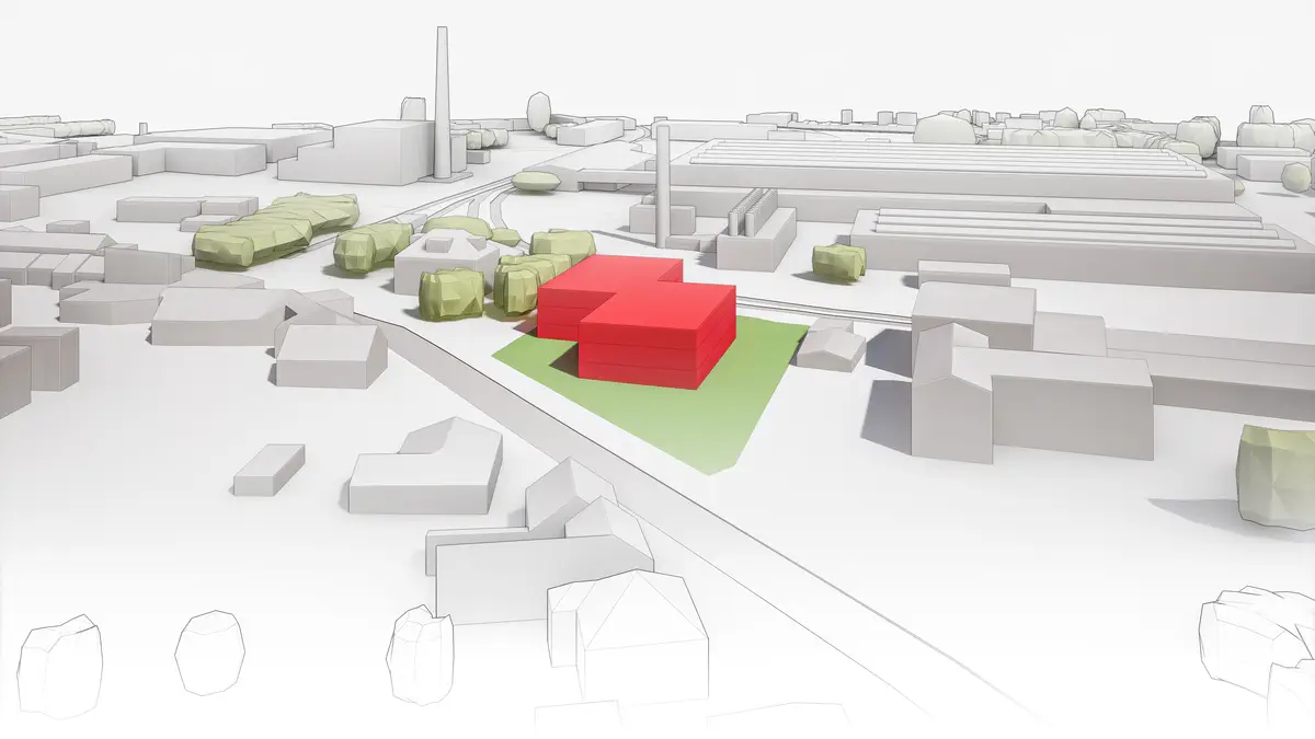
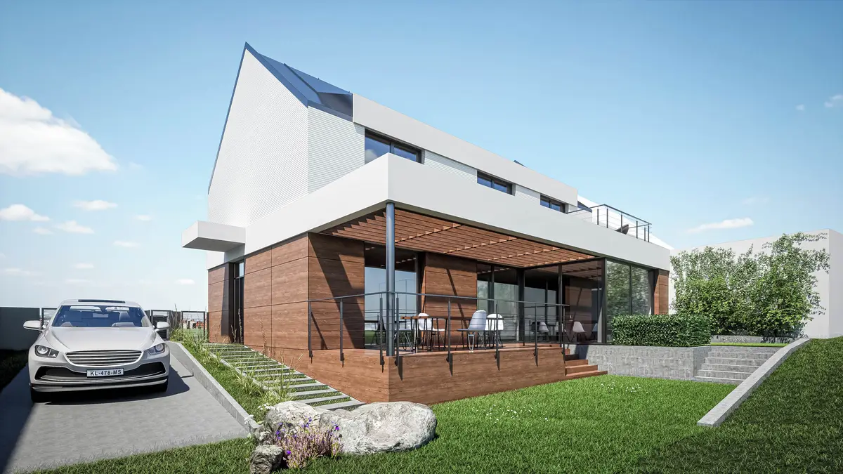
We offer design of civil engineering, residential and single-family houses. We provide technical supervision of buildings during construction and engineering activities. We provide advisory and consultancy services in the construction industry.
The company offers all geodetic work in the field of land registry (geometric plans, delineation of boundaries, refinement of boundaries, marking of easements, etc.) and engineering geodesy (documents for projects, spatial location of construction, measurement of the actual state after the implementation of buildings, etc.), scanning.
We are a surveying office for small and large projects. We focus on engineering surveying, geometric plans, land boundary demarcation, land development, property settlement of buildings, passporting of buildings, surveying of position and elevation for the project and survey elaborations. We are efficient and high quality
We offer comprehensive surveying work for buildings and land. We provide geometric plans for registration in the Land Registry (new construction, land transfer, easements), delineation of land boundaries, mapping (semi-althography, altimetry), delineation of buildings, surveying of buildings and houses for approval and laser scanning.
Complete geodetic work in the Land Registry (without VAT). Delineation of land and forest boundaries, preparation of geometric plans (marking of buildings/additions, division of land, marking of easements, clarification and correction of boundaries). Plotting of buildings (houses, industrial buildings, etc.) and documentation for projects.
Geodetic office provides geodetic work: preparation of geometric plans - marking of buildings, division of land, easements. Delineation of land boundaries. Engineering geodesy, map documents. Plotting of buildings and surveying of their actual execution. Expert legal advice in the land registry.
We perform complex geodetic work. Geometric plans, surveying of buildings and delineation of boundaries. We produce map documents for designers. Digital terrain models. Measurement of buildings by 3D scanner. Engineering surveying. Thermal imaging of buildings.