




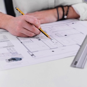

We provide surveying work in land registration and engineering surveying. We offer marking of buildings, extensions and water works, digitization of zoning plans, cadastral and purpose maps. We produce technical maps of towns, villages and areas. We provide installation of geographic information systems.
Offering services of a surveying engineer and expert witness in the field of geodesy and cartography. Geometric plans, boundary marking, elimination of inconsistencies in the land register, surveying of residential units for the declaration of ownership.
We offer surveying and consulting in the field of land registry. We provide land division, marking of buildings, refinement and correction of boundaries, delineation of easements and addition of land from simplified records. We also focus on large-scale special purpose maps.
GeoSM s.r.o. specializes in all types of surveying work, particularly the preparation of geometric plans, the staking out of property and building boundaries, as-built surveys of buildings, work related to the real estate cadastre, and engineering surveying. We operate primarily in the Central Bohemian Region and Prague.
We create geometric plans including position and elevation documents for designing. We offer property boundary delineation and land surveying. We also specialize in utility surveying, real estate transfer consulting and other services.