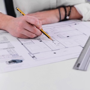
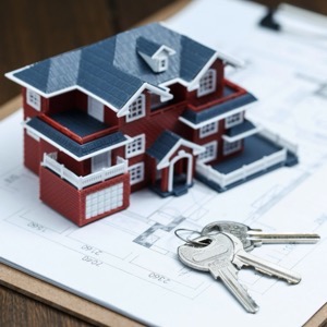
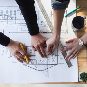
We offer geometric plans, plot boundary marking, position and elevation surveying, ground photogrammetry, engineering surveying. We also provide digital terrain models and other geodetic work as required.
I offer the preparation of geometric plans to mark out buildings, subdivide land, mark out property boundaries. I also perform elevation and position surveys for design purposes.
I am engaged in creating geometric plans, laying out and surveying land and buildings, utilities and connections. I focus special purpose maps and documents for project documentation and also documentation of actual execution. I carry out land division and surveying of buildings for approval and other geodetic works.
We will prepare a geometric plan, delineate the boundary of the land, a survey for the project, a construction survey and more. Engineering geodesy is a matter of course. We look forward to seeing you.
We carry out surveying activities - geometric plans for the Land Registry, delineation of property boundaries, surveying of easements. Engineering surveying - delineation and surveying of buildings, surveying and preparation of special purpose maps, elevations, documents for projects.