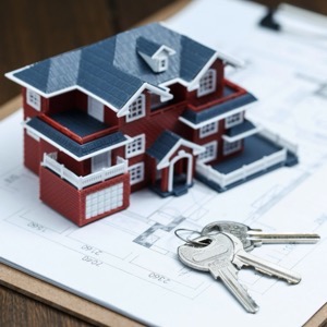
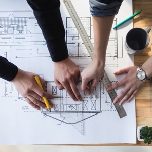
Geometric plans - easements. Delineation of boundaries - buildings - utilities. Mapping for construction - DSPS and all geodetic and cartographic work.
We carry out surveying activities - in particular, geometric plans, delineation of land boundaries, surveying for the project, delineation of the building and preparation of the building passport. We cooperate with a law firm and a forensic expert.
I provide surveying work, geometric plans and property boundary delineation. I provide consulting and expert witness services for the field of surveying and cartography. I am also engaged in real estate activities and consulting in the cadastre of real estate. Work for land development, verification of the results of surveying activities.
We offer surveying work: geometric plans, land boundary marking, surveying and marking out of buildings, easements. Drawing up of contracts, including deposit with the Land Registry. In engineering geodesy we provide positioning, elevation, plant maps, utility networks, crane tracks.
I offer all geodetic work in the field of cadastre, geometric plan (within 14 days), delineation of land boundaries, division of land. I provide comprehensive surveying services in the construction of a family house.
Surveying services with a focus on static laser scanning, mobile 3D scanning, photogrammetry and conventional surveying. We supply surveying of position and elevation, building passports, as-built models of industrial facilities, digital terrain models, documentation of historical buildings and cultural monuments.
We provide comprehensive geodetic services, geometric plans, boundary marking, surveying of position and elevation as well as consulting in the land registry. We offer the preparation of geodetic documentation of the actual construction for the approval.
Offer surveying work, boundary marking and preparation of a geometric plan and project documents. We carry out radon measurements on land for building permits.
We provide services in the field of surveying, land surveying and cartography. We provide coordinate systems used for land registry. We provide a survey plan for marking out a building, changing the outer perimeter of a building, subdividing land and for marking out easements.
We will prepare a geometric plan, delineate the boundary of the land, a survey for the project, a construction survey and more. Engineering geodesy is a matter of course. We look forward to seeing you.
We carry out surveying activities - geometric plans for the Land Registry, delineation of property boundaries, surveying of easements. Engineering surveying - delineation and surveying of buildings, surveying and preparation of special purpose maps, elevations, documents for projects.
We offer geodetic work in the land registry, geometric plans, engineering geodesy, underground utility searches, thermal imaging, determination of the radon index of the land, preparation of EBU protocol, drone imaging, land demarcation, building demarcation or documentation of the actual construction.
We are engaged in surveying activities. We carry out geometric plans, land boundary marking, semi-geographical plans, engineering surveying, altimetric surveying and we prepare custom-made maps and plans.
We provide comprehensive services in the areas of land registry and engineering geodesy. We offer geometric plans for land division, for marking new buildings or extensions in the cadastre, for marking of unbuilt buildings in the cadastre and for defining the extent of easements, purpose maps 2D, 3D and others.