We carry out all geodetic work, preparation of documentation Digital Technical Map. We make geometric plans, documentation of buildings and boundary marking. We survey utility networks, map documents, actual condition of buildings for reconstruction, we offer OG activities and preparation of expert reports and consultations.
We create geometric plans including digital mapping. We offer all surveying work and land boundary delineation. We also provide position and height delineation of buildings in the field, surveying of the actual design of buildings and utilities, digital map documents for designing.
Our surveyors provide complete land surveying and geodetic work - surveying (marking out of buildings, monoliths, land), surveying (surveying of buildings, mapping for projects, hot pipelines), geometric plans, easements and owner's declarations. We work throughout the Czech Republic and abroad.
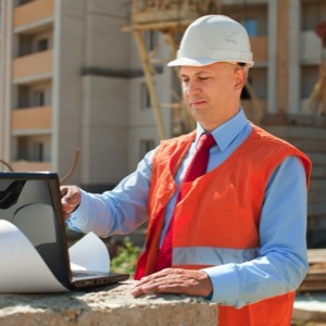
I offer professional geodetic work - building surveying, geometric plan for house or extension approval, plot boundary delineation, building passport, land surveying, position and height survey, owner's declaration. Photo and video documentation. Free dates for surveying, contact me for a quotation
Offering surveying services. Within the scope of work for the Land Registry we mainly carry out the preparation of geometric plans and delineation of land boundaries. We offer digital map documents for designing. Our customers are mostly small house builders, private persons or designers.
We carry out surveying work. We offer surveying plans, property boundary delineation, mapping for design and surveying of completed buildings. We offer surveying of laying of utilities with digital processing according to the regulations of the administrators, determination of cubatures of bulk material dumps and more.
I offer all geodetic works, preparation of geometric plans, delineation of land boundaries, preparation of geodetic documents for the project, semi- and altimetric survey of the actual condition.
We carry out surveying and land development work. We specialise in measuring and evaluating vertical and horizontal displacements of structures and deformations. We perform creation of base maps, digitization of siding plans.
We provide comprehensive surveying work in the field of land registry and engineering surveying, geometric plans, land division, boundary marking, construction. We offer surveying of facades and construction objects, monitoring of deformations of construction objects, surveying and calculation of geometric parameters of crane tracks.
We offer engineering surveying, geometric plans and consulting activities for the land registry. We also provide documentation for projects, geometric plans for property transfers, property settlements of buildings and documentation of buildings after completion. We carry out demarcation of property boundaries and other works.
Offer consultancy, advisory, design and engineering services in the field of transport, electrical and telematics systems. We also provide technical supervision services for these areas.
We specialize in camera inspections of all types of pipelines, accredited laboratory analysis of water, sludge and waste, surveying and design work, GIS, consultancy, investor representation during construction, subsidy allocation issues or management of state material reserves.