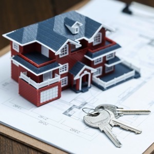
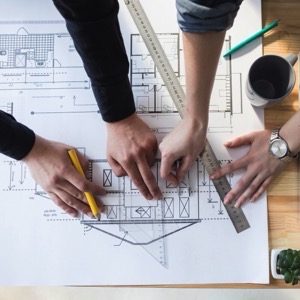
We offer surveying work: geometric plans, land boundary marking, surveying and marking out of buildings, easements. Drawing up of contracts, including deposit with the Land Registry. In engineering geodesy we provide positioning, elevation, plant maps, utility networks, crane tracks.
I offer all geodetic work in the field of cadastre, geometric plan (within 14 days), delineation of land boundaries, division of land. I provide comprehensive surveying services in the construction of a family house.
Our company provides comprehensive surveying work throughout the Czech Republic. We offer land and building surveying, building surveying, geometric plans, easements, position and elevation surveys and building passports. We provide expert advice in the field of land registry.
We do all surveying work - geometric plans, land division, easements, marking of buildings, delineation of property boundaries, surveying for a project, positioning, elevation of buildings and more. Building surveying - floor plans, views, facade surveying, building alignment.
We provide comprehensive geodetic services, geometric plans, boundary marking, surveying of position and elevation as well as consulting in the land registry. We offer the preparation of geodetic documentation of the actual construction for the approval.
We provide services in the field of surveying, land surveying and cartography. We provide coordinate systems used for land registry. We provide a survey plan for marking out a building, changing the outer perimeter of a building, subdividing land and for marking out easements.
We will prepare a geometric plan, delineate the boundary of the land, a survey for the project, a construction survey and more. Engineering geodesy is a matter of course. We look forward to seeing you.
We carry out surveying activities - geometric plans for the Land Registry, delineation of property boundaries, surveying of easements. Engineering surveying - delineation and surveying of buildings, surveying and preparation of special purpose maps, elevations, documents for projects.
We provide comprehensive services in the areas of land registry and engineering geodesy. We offer geometric plans for land division, for marking new buildings or extensions in the cadastre, for marking of unbuilt buildings in the cadastre and for defining the extent of easements, purpose maps 2D, 3D and others.
We specialise in engineering surveying, land registry surveying and deal with digital data processing. We offer land boundary delineation, surveying of building interiors and facades, calculation of cubatures, delineation and surveying of spatial position of buildings, preparation of technical maps of towns and cities and more.
We are a surveying office for small and large projects. We focus on engineering surveying, geometric plans, land boundary demarcation, land development, property settlement of buildings, passporting of buildings, surveying of position and elevation for the project and survey elaborations. We are efficient and high quality
We do all surveying work: geometric plans, land division, easements, marking of buildings, delineation of land boundaries, surveying for the project, positioning, elevation of buildings and more. Building surveying - floor plans, views, facade surveying, building alignment.