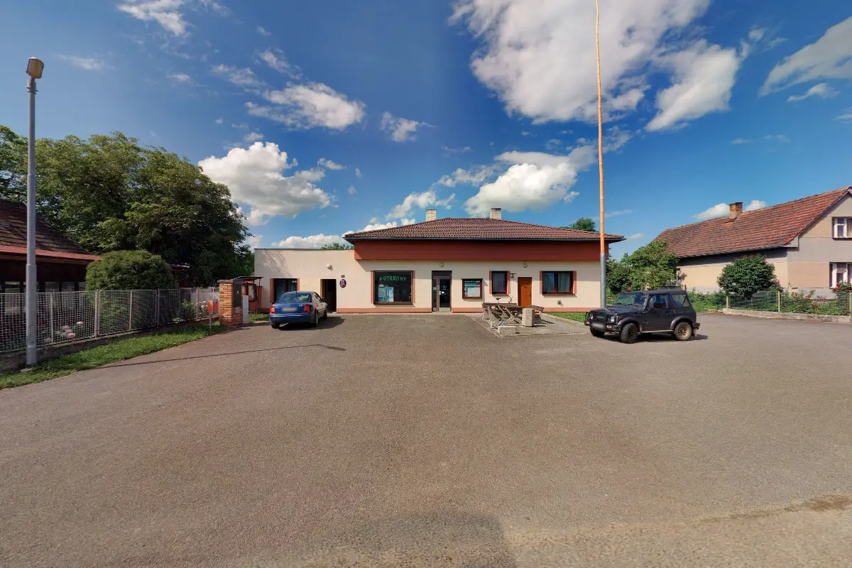
The first written report dates back to 1488. The village is situated at an altitude of 480 metres. Interesting features of the village are a chapel with a consecrated historical bell and a monument dedicated to the victims of World War I.
The first written report dates back to 1469. The village is situated at an altitude of 451 metres. There are 122 inhabitants. Provision of Czech POINT services.
The first written report dates back to 1379. The village is located at an altitude of 605 metres. There are about 298 inhabitants. Provision of Czech POINT services.
The first written report dates back to 1306. The village is located at an altitude of 493 metres. 302 inhabitants live on the territory. Provision of Czech POINT services.
The first written record dates back to 1216. The village is situated at an altitude of 471 metres. There are 462 inhabitants. Provision of Czech POINT services.
The village lies in the eastern part of the Písek district at an altitude of 488m. It is adjacent to the cadastres of Bernartice, Veselíčko, Branice, Okrouhlá and Sepekov. To the northeast above the village rises Vlčí vrch (Wolf Hill) with a height of 513m and a view in the south to northwest direction.
The first written report dates back to 1460. The village is situated at an altitude of 441 metres. There are 108 inhabitants. Cultural and historical monuments of the village: listed timbered and brick farmhouses of South Bohemian folk architecture and the Church of St. John the Baptist and St. Mary from 1567.
The first written report dates back to 1488. The village is located at an altitude of 491 metres. Cultural, social and children's events are organised. A nature trail through Vejrovský zemanství, a marked cycle path and a railway line pass through the village.
The first written report dates back to 1488. The village is located at an altitude of 465 metres. Provision of Czech POINT services. We organize social events and celebrations in the village.